John Mansfield School, Peterborough
Map
Facts and practical information
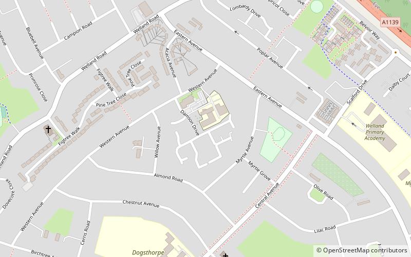
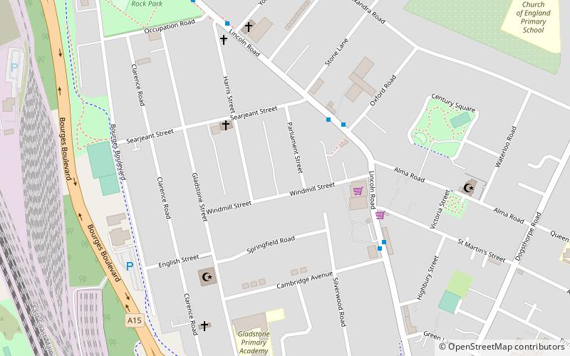
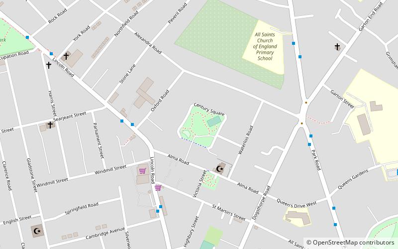
John Mansfield School was located in the Dogsthorpe area of Peterborough, England. The school opened in 1957, when the estate had just been completed, and was originally an all-girls school for those who failed the 11+. In 1981, it became a mixed school opened to all student form year 7 to post 16. In 2007 the school was closed and merged with two other schools, Deacon's Secondary School and Hereward Community College. The new school was relocated and called the Thomas Deacon Academy of Peterborough. ()
Coordinates: 52°35'54"N, 0°13'49"W
Getting there by public transportation
Public transportation stops near this location
- Bus
 Bus
Bus
- Calculate routeBluebell Inn 15 min walk
- Calculate routeGrange Avenue 14 min walk
- Calculate routeBrownlow Road 16 min walk
Day trips


Frequently Asked Questions (FAQ)
How to get to John Mansfield School by public transport?
The nearest stations to John Mansfield School:
Bus
Bus
- Bluebell Inn • Lines: citi 2 (15 min walk)
- Grange Avenue • Lines: citi 2 (14 min walk)