Clifton Bridge, Nottingham
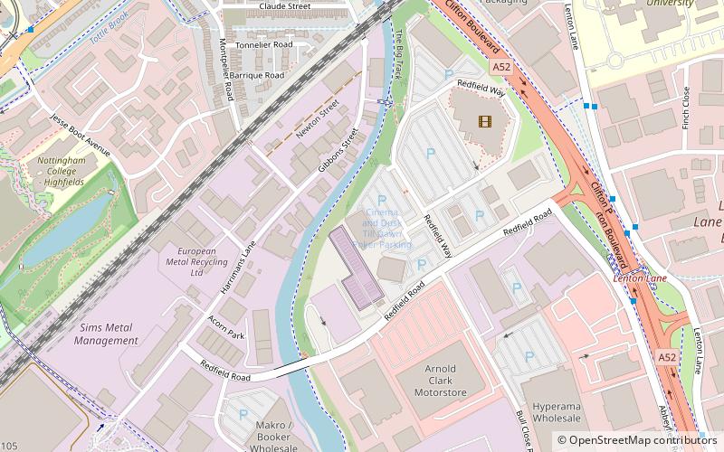
Map
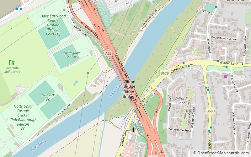
Map

Facts and practical information
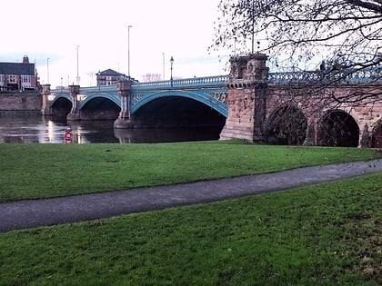
Clifton Bridge is a road bridge spanning the River Trent and carrying the A52 road to the west of the city of Nottingham, in the county of Nottinghamshire, England. ()
Opened: 1958 (68 years ago)Coordinates: 52°55'30"N, 1°9'57"W
Address
Clifton NorthNottingham
ContactAdd
Social media
Add
Day trips
Clifton Bridge – popular in the area (distance from the attraction)
Nearby attractions include: Meadow Lane Stadium, Highfields Park, Nottingham Tennis Centre, Trent Bridge.
Frequently Asked Questions (FAQ)
Which popular attractions are close to Clifton Bridge?
Nearby attractions include Wilford, Nottingham (7 min walk), Silverdale, Nottingham (17 min walk), St Wilfrid's Church, Nottingham (19 min walk), Dusk Till Dawn, Nottingham (23 min walk).
How to get to Clifton Bridge by public transport?
The nearest stations to Clifton Bridge:
Bus
Tram
Bus
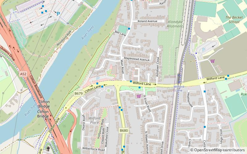
- Clifton Bridge South • Lines: 1, 2, 3, 4, L1, N4, S1 (7 min walk)
- Queens Drive Park & Ride • Lines: Citylink 1, Medilink (7 min walk)
Tram
- Wilford Lane • Lines: 2 (11 min walk)
- Compton Acres • Lines: 2 (14 min walk)


