Rutherglen, Glasgow

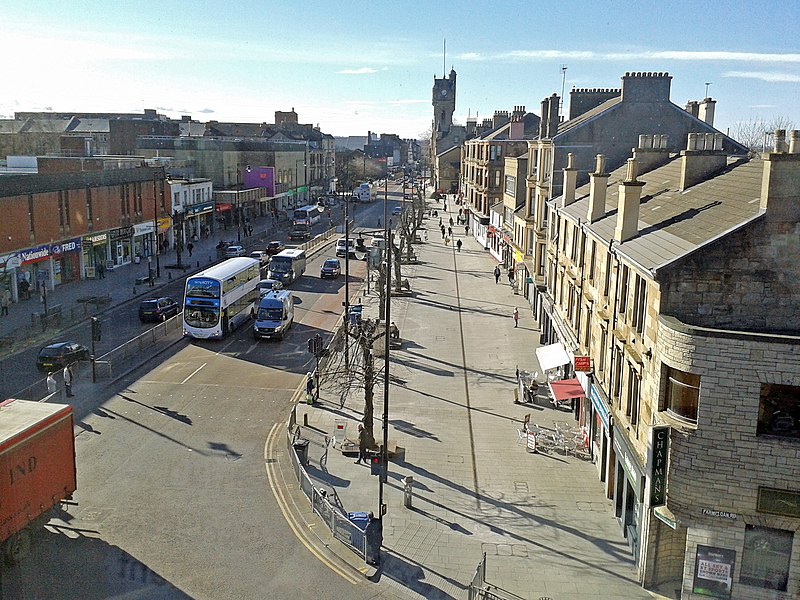
Gallery (3)
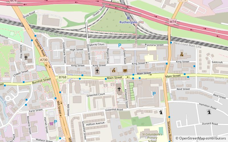
Map
Map
Gallery
Facts and practical information
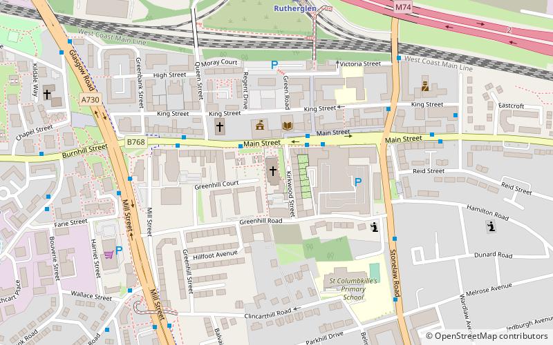
Rutherglen is a town in South Lanarkshire, Scotland, immediately south-east of the city of Glasgow, 3 miles from its centre and directly south of the River Clyde. Having existed as a Lanarkshire burgh in its own right for more than 800 years, in 1975 Rutherglen lost its own local council and administratively became a component of the City of Glasgow District within the Strathclyde region. In 1996 the towns were reallocated to the South Lanarkshire council area. ()
Address
Glasgow
ContactAdd
Social media
Add
Getting there by public transportation
Public transportation stops near this location
- Bus
- Train
 Bus
Bus
- Calculate routeCastle Street 2 min walk
- Calculate routeRutherglen Cross 4 min walk
- Calculate routeStonelaw Road 6 min walk
- Calculate routeRutherglen 6 min walk
- Calculate routeCroftfoot 22 min walk
- Calculate routeBurnside 23 min walk
- Calculate routeDalmarnock 26 min walk
Day trips


Frequently Asked Questions (FAQ)
Which popular attractions are close to Rutherglen?
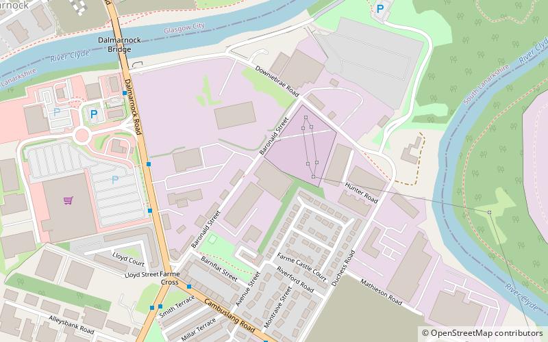
Nearby attractions include Rutherglen Town Hall, Glasgow (2 min walk), Shawfield, Glasgow (14 min walk), Farme Castle, Glasgow (16 min walk), Toryglen, Glasgow (23 min walk).
How to get to Rutherglen by public transport?
The nearest stations to Rutherglen:
Bus
Train
Bus
- Castle Street • Lines: 14 (2 min walk)
- Rutherglen Cross • Lines: 14 (4 min walk)
Train
- Rutherglen (6 min walk)
- Croftfoot (22 min walk)