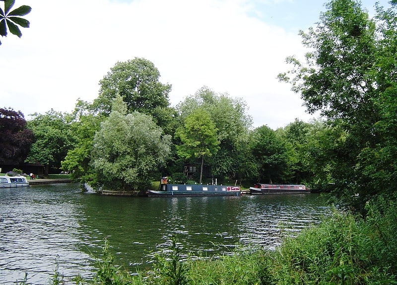
Continuum, Staines-upon-Thames
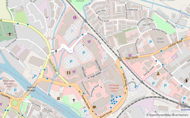
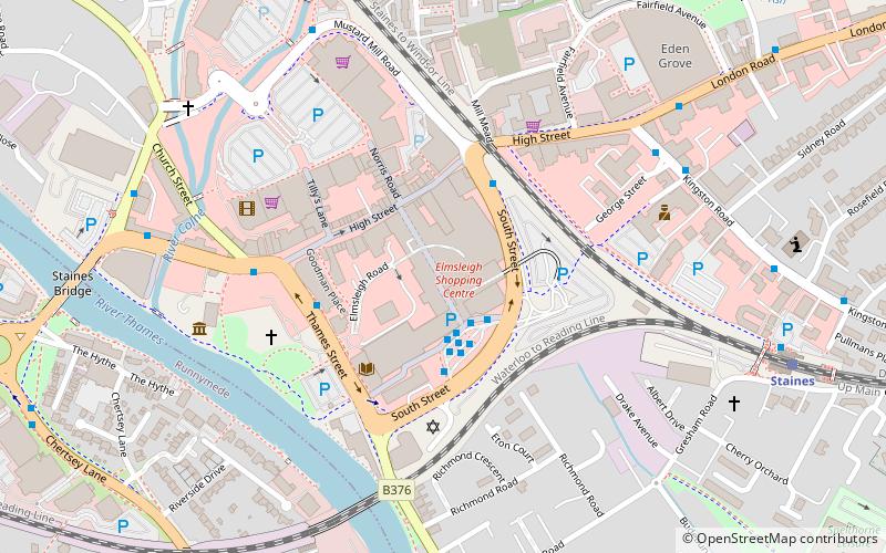
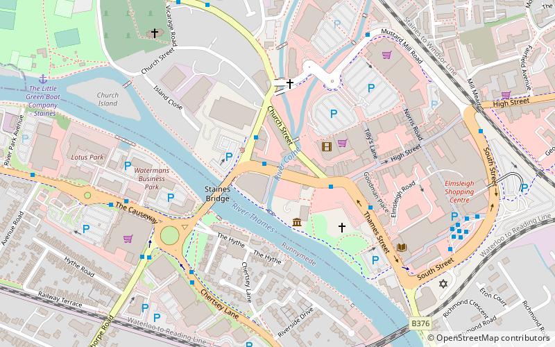
Map
Facts and practical information
Continuum is a place located in Staines-upon-Thames (England kingdom) and belongs to the category of monuments and statues.
It is situated at an altitude of 66 feet, and its geographical coordinates are 51°26'6"N latitude and 0°30'40"W longitude.
Planning a visit to this place, one can easily and conveniently get there by public transportation. Continuum is a short distance from the following public transport stations: Two Rivers (bus, 3 min walk), Staines (train, 11 min walk).
Among other places and attractions worth visiting in the area are: Roll Out The Line (monuments and statues, 3 min walk), Elmsleigh Shopping Centre (shopping, 4 min walk), Clarence Street (bridge, 5 min walk).
Coordinates: 51°26'6"N, 0°30'40"W
Address
Staines-upon-Thames
ContactAdd
Social media
Add
Getting there by public transportation
Public transportation stops near this location
- Bus
- Train
 Bus
Bus
- Calculate routeTwo Rivers 3 min walk
- Calculate routeSouth Street 3 min walk
- Calculate routeThames Street 4 min walk
- Calculate routeHigh Street 4 min walk
- Calculate routeStaines 11 min walk
Day trips

Frequently Asked Questions (FAQ)
Which popular attractions are close to Continuum?
Nearby attractions include Roll Out The Line, Staines-upon-Thames (3 min walk), Clarence Street, Staines-upon-Thames (5 min walk), Bull Statue, Staines-upon-Thames (6 min walk), Staines Bridge, Staines-upon-Thames (8 min walk).
How to get to Continuum by public transport?
The nearest stations to Continuum:
Bus
Train
Bus
- Two Rivers • Lines: 438, 571 (3 min walk)
- South Street • Lines: 117, 203, 216, 290, 400, 438, 442, 570, 571, 572, 8, 8A (3 min walk)
Train
- Staines (11 min walk)