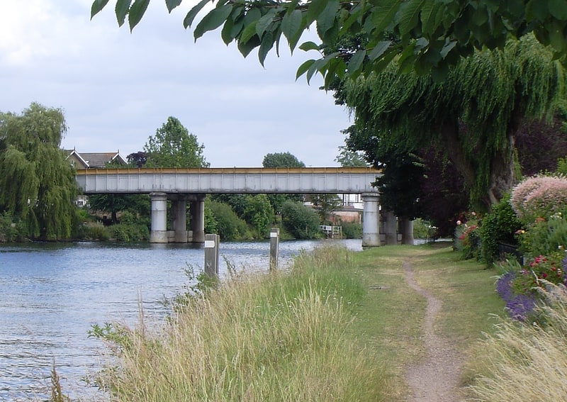
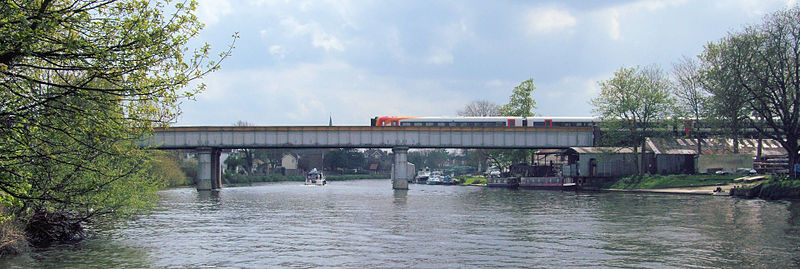
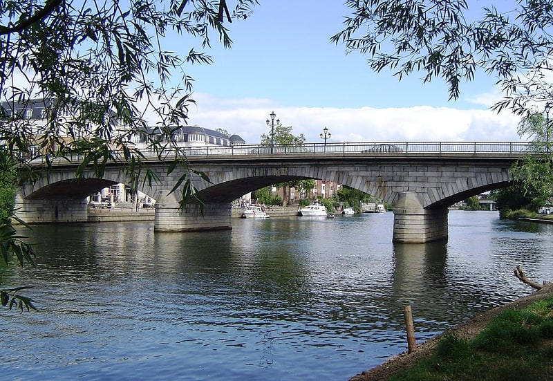
Staines Railway Bridge, Staines-upon-Thames
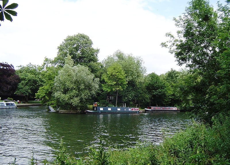
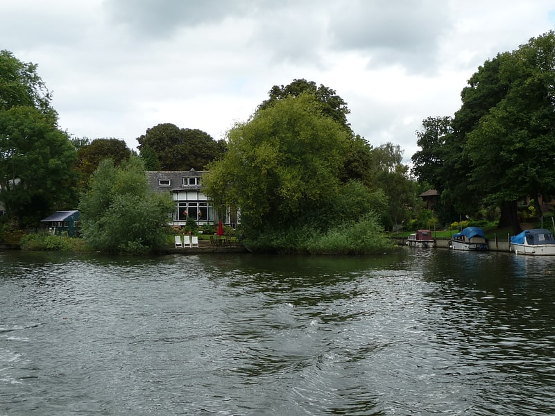
Gallery (2)
Map
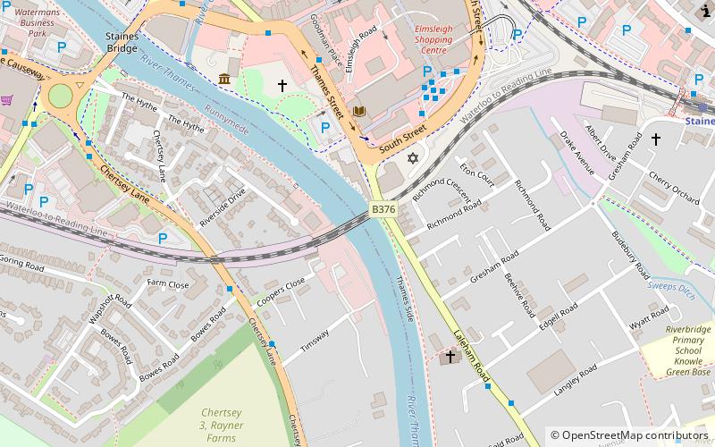
Map
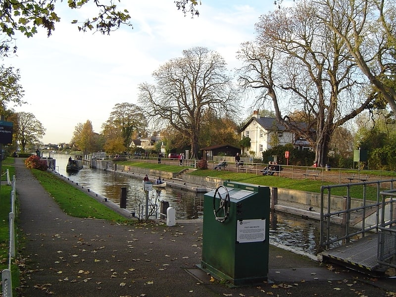
Gallery
Facts and practical information
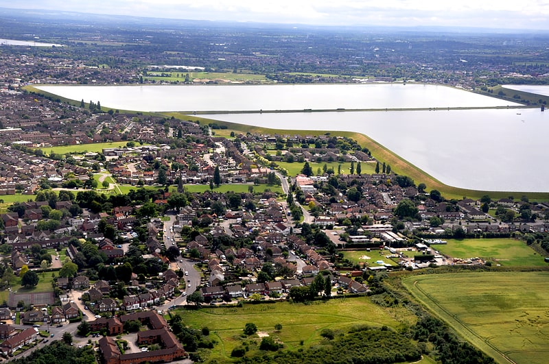
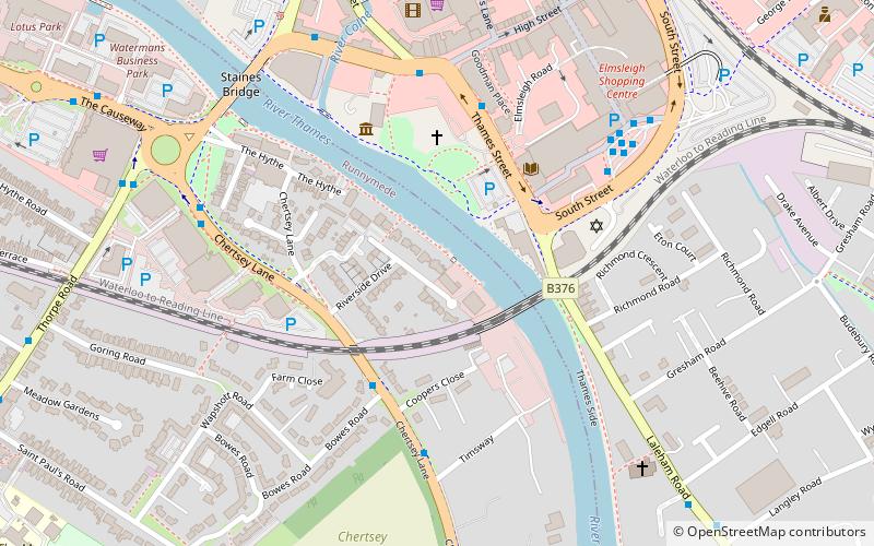
Staines Railway Bridge carries the Waterloo to Reading Line across the Thames in England. ()
Opened: 1856 (170 years ago)Coordinates: 51°25'50"N, 0°30'40"W
Address
Staines-upon-Thames
ContactAdd
Social media
Add
Getting there by public transportation
Public transportation stops near this location
- Bus
- Train
 Bus
Bus
- Calculate routeBowes Road 4 min walk
- Calculate routeElmsleigh Bus Station 5 min walk
- Calculate routeThames Street 5 min walk
- Calculate routeStaines 10 min walk
Day trips

Frequently Asked Questions (FAQ)
Which popular attractions are close to Staines Railway Bridge?
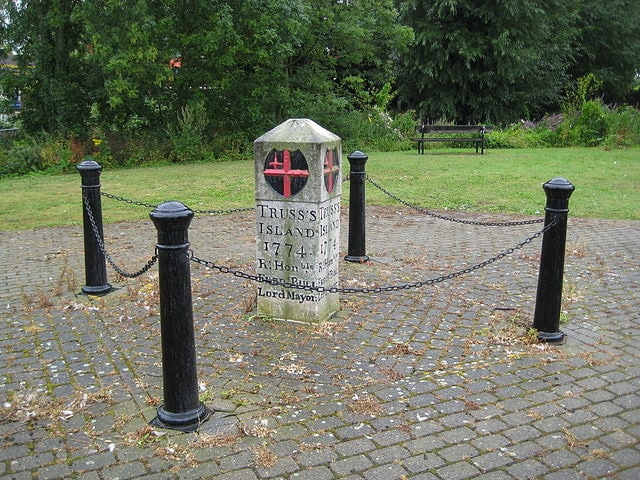
Nearby attractions include Staines Bridge, Staines-upon-Thames (8 min walk), Church Island, Staines-upon-Thames (13 min walk), St. Mary's Church, Staines-upon-Thames (14 min walk), Truss's Island, Staines-upon-Thames (21 min walk).
How to get to Staines Railway Bridge by public transport?
The nearest stations to Staines Railway Bridge:
Bus
Train
Bus
- Bowes Road • Lines: 446, 456, 593 (4 min walk)
- Elmsleigh Bus Station • Lines: 117, 203, 216, 290, 400, 438, 441, 442, 446, 456, 458, 500, 566, 567, 570, 571, 572, 593, 8, 8A (5 min walk)
Train
- Staines (10 min walk)