Battersea, London
Map
Gallery
Facts and practical information
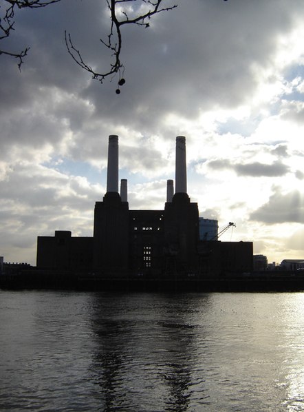
Battersea is a large district of south London, England, in the London Borough of Wandsworth. It is centred 3.5 miles southwest of Charing Cross and extends along the south bank of the River Thames. It includes the 200-acre Battersea Park. ()
Address
Wandsworth (Northcote)London
ContactAdd
Social media
Add
Day trips
Battersea – popular in the area (distance from the attraction)
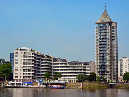
Nearby attractions include: Lavender Hill, Chelsea Harbour, Southside Wandsworth, Battersea Park.
Frequently Asked Questions (FAQ)
Which popular attractions are close to Battersea?
Nearby attractions include Clapham Grand, London (3 min walk), Battersea Arts Centre, London (8 min walk), Lavender Hill, London (11 min walk), The Ascension, London (13 min walk).
How to get to Battersea by public transport?
The nearest stations to Battersea:
Bus
Train
Ferry
Metro
Bus
- Clapham Junction Station / The Falcon • Lines: 219, 319, 337, 35, 37, 49, 77, G1 (1 min walk)
- Clapham Junction Station • Lines: N19, N31 (2 min walk)
Train
- Clapham Junction (4 min walk)
- Wandsworth Town (24 min walk)
Ferry
- Plantation Wharf Pier • Lines: Rb6 (18 min walk)
- Chelsea Harbour Pier • Lines: Rb6 (23 min walk)
Metro
- Clapham South • Lines: Northern (30 min walk)
- Battersea Power Station • Lines: Northern (39 min walk)




 Tube
Tube
