St Giles' Church, Peak District

Gallery (1)
Map
Map
Facts and practical information
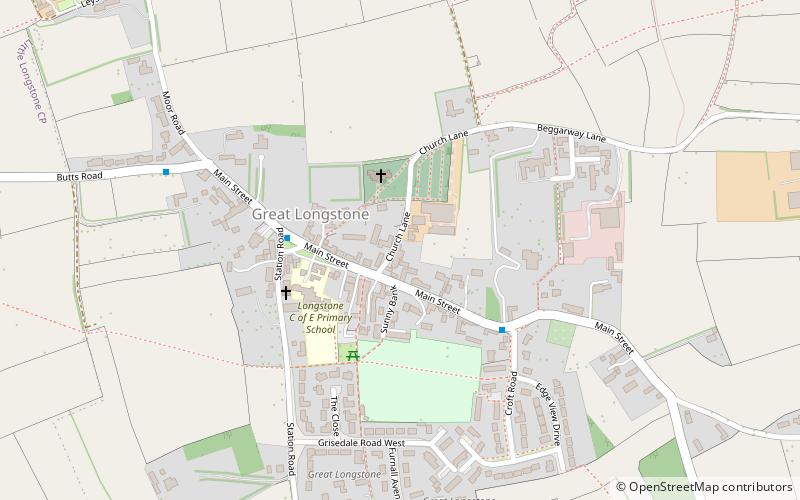
St Giles’ Church, Longstone is a Grade I listed parish church in the Church of England in Great Longstone, Derbyshire. ()
Coordinates: 53°14'34"N, 1°42'4"W
Address
Peak District
ContactAdd
Social media
Add
Getting there by public transportation
Public transportation stops near this location
- Bus
 Bus
Bus
- Calculate routeGreat Longstone 5 min walk
- Calculate routeLittle Longstone 16 min walk
- Calculate routeMonsal Head 25 min walk
Day trips


Frequently Asked Questions (FAQ)
How to get to St Giles' Church by public transport?
The nearest stations to St Giles' Church:
Bus
Bus
- Great Longstone • Lines: 173 (5 min walk)
- Little Longstone • Lines: 173 (16 min walk)