Boulter's Island, Maidenhead
Map

Gallery

Facts and practical information
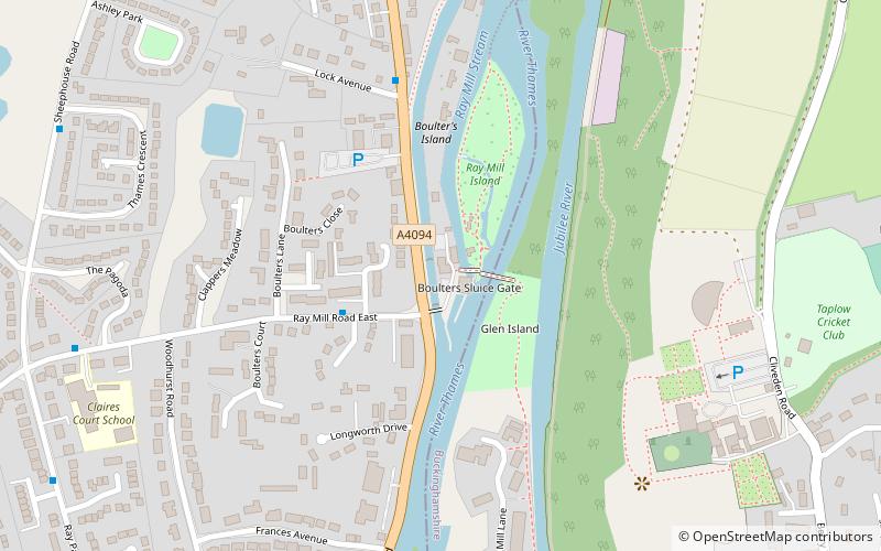
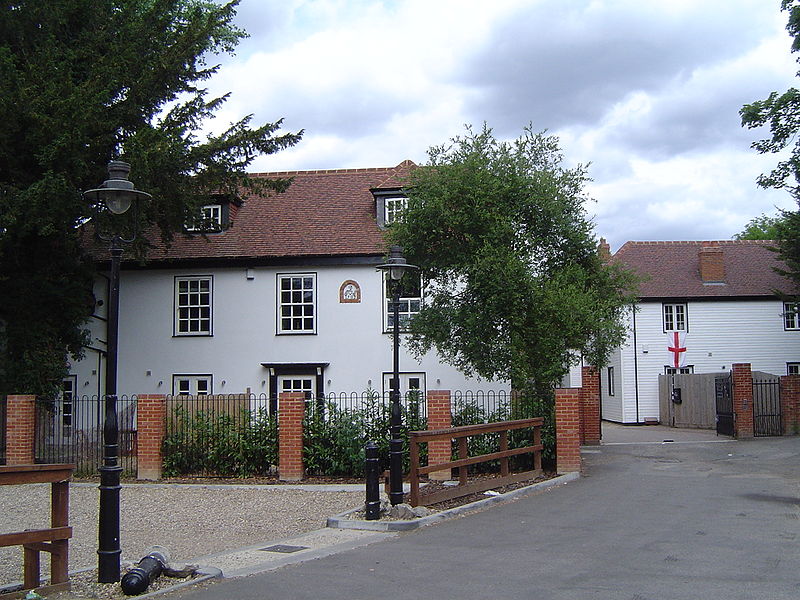
Boulter's Island is an island in the River Thames at Boulter's Lock, in the north-east suburbs of Maidenhead, Berkshire. It is next to the Maidenhead bank, separated by the lock cut. Boulter's Island is accessible by motor vehicle via Boulter's Bridge across the tail of Boulter's Lock. The island has a number of private houses, a restaurant and a small boatyard with a slipway. ()
Coordinates: 51°31'60"N, 0°41'58"W
Address
Maidenhead
ContactAdd
Social media
Add
Day trips
Boulter's Island – popular in the area (distance from the attraction)
Nearby attractions include: York Road, Maidenhead Heritage Centre, Maidenhead Railway Bridge, Maidenhead Town Hall.
Frequently Asked Questions (FAQ)
Which popular attractions are close to Boulter's Island?
Nearby attractions include All Nations Bible College, Maidenhead (13 min walk), Maidenhead Synagogue, Maidenhead (15 min walk), Maidenhead Bridge, Maidenhead (17 min walk), Maidenhead Railway Bridge, Maidenhead (22 min walk).
How to get to Boulter's Island by public transport?
The nearest stations to Boulter's Island:
Bus
Train
Bus
- Village Green • Lines: 63, 68 (14 min walk)
- Desborough Cottages • Lines: 63, 68 (14 min walk)
Train
- Taplow (27 min walk)
- Maidenhead (37 min walk)


