Ray Mill Island, Maidenhead

Gallery (1)
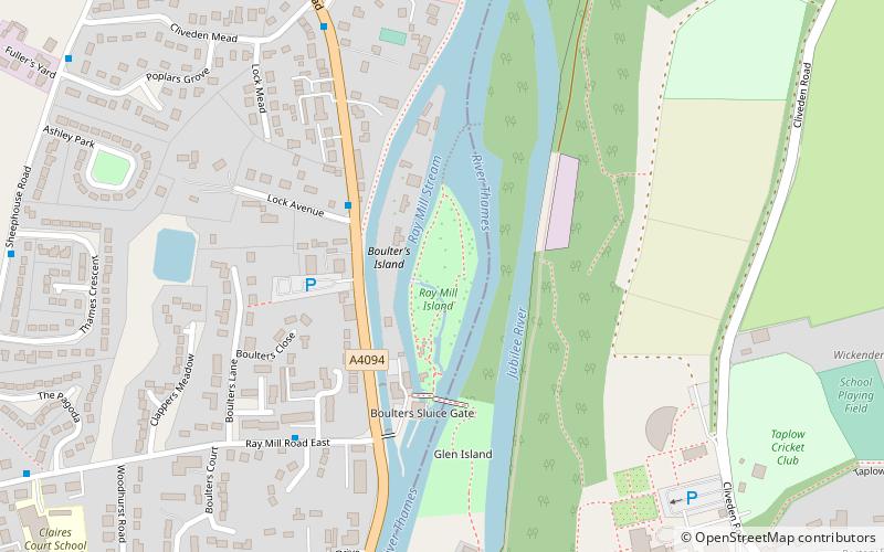
Map
Map
Facts and practical information
Ray Mill Island is an island in the River Thames in England at Boulter's Lock near Maidenhead, Berkshire. ()
Coordinates: 51°32'5"N, 0°41'55"W
Address
Maidenhead
ContactAdd
Social media
Add
Getting there by public transportation
Public transportation stops near this location
- Bus
- Train
 Bus
Bus
- Calculate routeDesborough Cottages 13 min walk
- Calculate routeVillage Green 14 min walk
- Calculate routeRectory Road 18 min walk
- Calculate routeEllington Road 20 min walk
- Calculate routeTaplow 28 min walk
- Calculate routeMaidenhead 40 min walk
Day trips


Frequently Asked Questions (FAQ)
Which popular attractions are close to Ray Mill Island?
Nearby attractions include All Nations Bible College, Maidenhead (13 min walk), Maidenhead Synagogue, Maidenhead (18 min walk), Maidenhead Bridge, Maidenhead (20 min walk).
How to get to Ray Mill Island by public transport?
The nearest stations to Ray Mill Island:
Bus
Train
Bus
- Desborough Cottages • Lines: 63, 68 (13 min walk)
- Village Green • Lines: 63, 68 (14 min walk)
Train
- Taplow (28 min walk)
- Maidenhead (40 min walk)