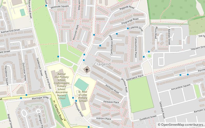
Craigend, Glasgow

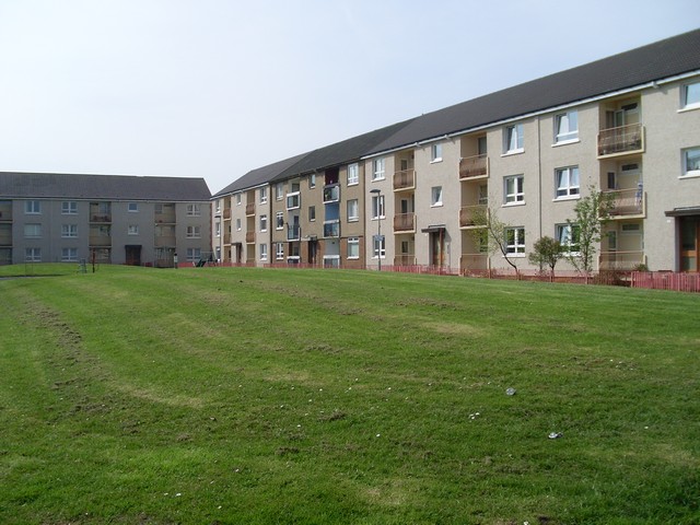
Gallery (2)
Map
Map
Gallery
Facts and practical information
Craigend is a neighbourhood in the Scottish city of Glasgow. It is situated north of the River Clyde, immediately west of Garthamlock, east of Hogganfield Park and Ruchazie and separated from Cranhill and Queenslie to the south by the M8 motorway. An area of open ground is to the north. The local landmarks are two water towers, which are illuminated at night. ()
Coordinates: 55°52'28"N, 4°9'23"W
Address
CraigendGlasgow
ContactAdd
Social media
Add
Getting there by public transportation
Public transportation stops near this location
- Bus
- Train
 Bus
Bus
- Calculate routeCraigend, Mossvale Road/ Kilchoan Road 2 min walk
- Calculate routeCraigend, Mossvale Road/ Mossvale Crescent 2 min walk
- Calculate routeRobroyston 29 min walk
- Calculate routeStepps 32 min walk
Day trips


Frequently Asked Questions (FAQ)
Which popular attractions are close to Craigend?
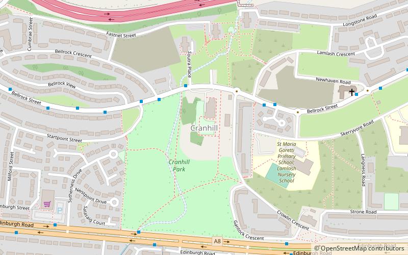
Nearby attractions include Cranhill, Glasgow (19 min walk), Queenslie, Glasgow (21 min walk).
How to get to Craigend by public transport?
The nearest stations to Craigend:
Bus
Train
Bus
- Craigend, Mossvale Road/ Kilchoan Road • Lines: 38, 38A (2 min walk)
- Craigend, Mossvale Road/ Mossvale Crescent • Lines: 38 (2 min walk)
Train
- Robroyston (29 min walk)
- Stepps (32 min walk)