Bollihope, North Pennines
#14 among attractions in North Pennines
Facts and practical information
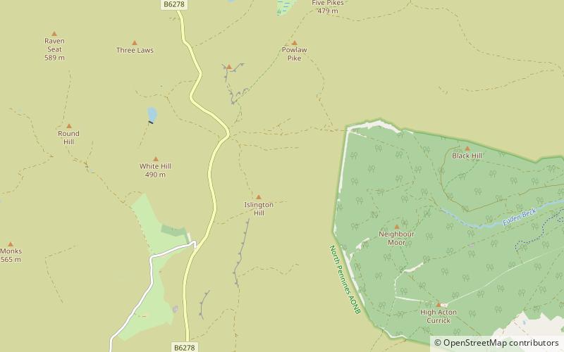
Bollihope, Pikestone, Eggleston and Woodland Fells is a Site of Special Scientific Interest in the Teesdale district of west County Durham, England. It covers a broad expanse of moorland to the north and east of Middleton-in-Teesdale. ()
North Pennines United Kingdom
Bollihope – popular in the area (distance from the attraction)
Nearby attractions include: Grassholme Reservoir, Shipley and Great Woods, Eggleston Hall, Kirkcarrion.
 Lake
LakeGrassholme Reservoir, Middleton-in-Teesdale
164 min walk • Grassholme Reservoir is a large reservoir in County Durham, England. It is situated in Lunedale, which is a side valley of the River Tees, about 2 miles south of Middleton-in-Teesdale.
 Nature, Natural attraction, Forest
Shipley and Great Woods
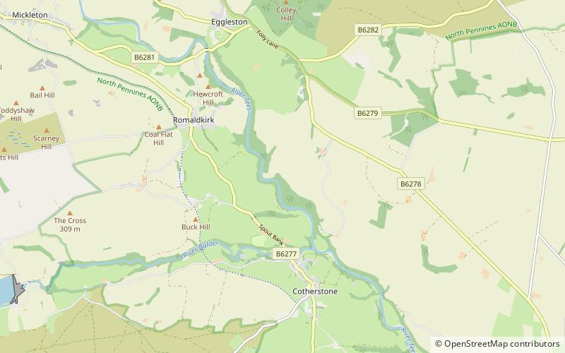
140 min walk • Shipley and Great Woods is a Site of Special Scientific Interest in the Teesdale district of south-west County Durham, England. It occupies a steep ravine in the valley of the River Tees, just north of the village of Cotherstone.
 Garden, Park
Eggleston Hall
105 min walk • Eggleston Hall is a privately owned 19th-century English country house near Barnard Castle, in Teesdale, County Durham. It is a Grade II* listed building.
 Nature, Natural attraction, Mountain
Kirkcarrion, Middleton-in-Teesdale
144 min walk • Kirkcarrion is a copse of pine trees, surrounded by a stone wall, on a hilltop near Middleton-in-Teesdale, County Durham, England. The trees, which were planted in Victorian times, cover a tumulus which is reputed to be the burial place of a Bronze Age chieftain, Prince Caryn, who ruled before the days of the Romans.
 Nature, Natural attraction, Cave
Fairy Holes Cave
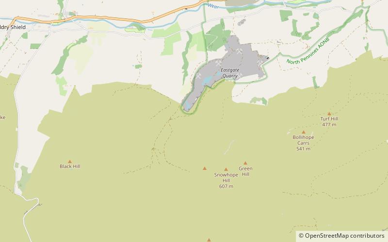
142 min walk • Fairy Holes Cave is a Site of Special Scientific Interest in the Wear Valley district of west County Durham, England. It is located on the western flanks of Snowhope Moor, on the right bank of Westernhope Burn, some 3 km south-west of the village of Eastgate.
 Nature, Natural attraction, Forest
Westernhope Burn Wood
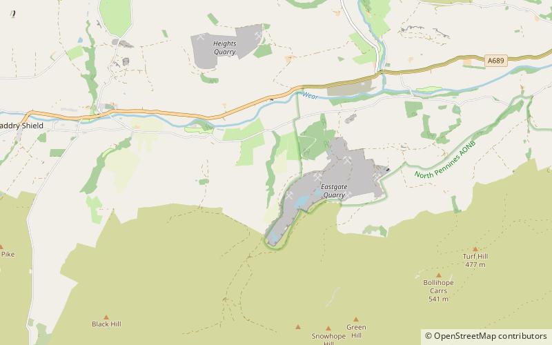
158 min walk • Westernhope Burn Wood is a Site of Special Scientific Interest in the Wear Valley district of south-west County Durham, England.
 Nature, Natural attraction, Cliff
Crag Gill
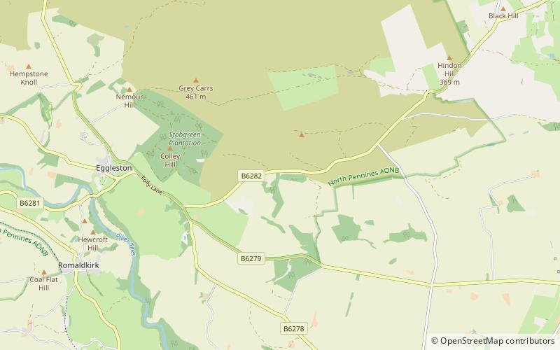
108 min walk • Crag Gill is a Site of Special Scientific Interest in the Teesdale district in south-west County Durham, England. It lies about 3 km east of the village of Eggleston, just off the B6282 road, which separates it from the Bollihope, Pikestone, Eggleston and Woodland Fells SSSI to the north.
 Nature, Natural attraction, Forest
Park End Wood
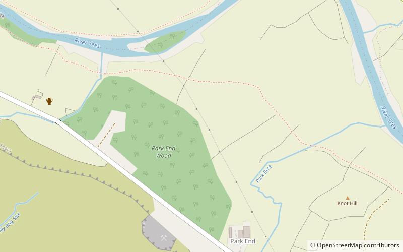
143 min walk • Park End Wood is a Site of Special Scientific Interest in the Teesdale district of west County Durham, England. The site occupies a low hill of Whin Sill on the southern edge of the River Tees floodplain just over 2 km upstream from the village of Middleton-in-Teesdale.
 Nature, Natural attraction, Mountain
Harter Fell
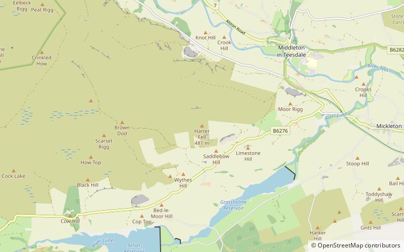
158 min walk • Harter Fell, Lunedale is an area of upland heath in west County Durham, England. It lies on the watershed between the River Tees to the north-east and the River Lune to the south and reaches a maximum height of 481 metres asl about 1 km north of the hamlet of Thringarth.
 Nature, Natural attraction, Valley
Weardale
113 min walk • Weardale is a dale, or valley, on the east side of the Pennines in County Durham, England. Large parts of Weardale fall within the North Pennines Area of Outstanding Natural Beauty – the second-largest AONB in England and Wales.
 Nature, Natural attraction, Forest
Hamsterley Forest
140 min walk • Hamsterley Forest is a commercial forest in County Durham owned and managed by Forestry England. It is the largest forest in County Durham and covers more than 2,000 hectares.