Jenny Lind, Glasgow
Map

Gallery

Facts and practical information
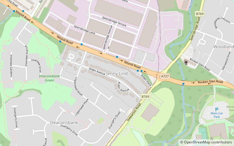
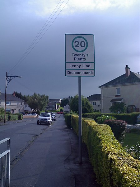
Jenny Lind is a small neighbourhood in the Scottish city of Glasgow. It is situated south of the River Clyde, contiguous with the larger Deaconsbank neighbourhood and across a dual carriageway from the Arden and Thornliebank Industrial Estate. It was extended slightly in the 21st century by the addition of Jenny Lind Court. Jenny Lind falls under the Glasgow City Council Greater Pollok ward and has a short border with Deaconsbank Golf Club and Rouken Glen Park in the East Renfrewshire council region. ()
Coordinates: 55°48'2"N, 4°19'33"W
Address
Jenny LindGlasgow
ContactAdd
Social media
Add
Day trips
Jenny Lind – popular in the area (distance from the attraction)
Nearby attractions include: Rouken Glen Park, Giffnock Synagogue, Deaconsbank, Darnley.
Frequently Asked Questions (FAQ)
Which popular attractions are close to Jenny Lind?
Nearby attractions include Deaconsbank, Glasgow (6 min walk), Rouken Glen Park, Glasgow (14 min walk), Darnley, Glasgow (21 min walk), Southpark Village, Glasgow (22 min walk).
How to get to Jenny Lind by public transport?
The nearest stations to Jenny Lind:
Bus
Train
Bus
- Nitshill Road / Spiersbridge Avenue • Lines: 38 (2 min walk)
Train
- Patterton (20 min walk)
- Kennishead (23 min walk)


