Ardudwy, Harlech

Map
Facts and practical information
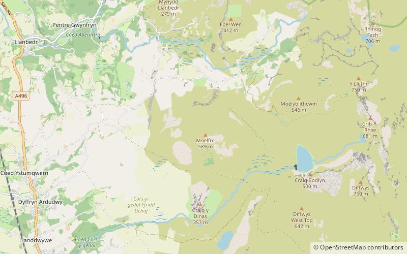
Ardudwy is an area of Gwynedd in north-west Wales, lying between Tremadog Bay and the Rhinogydd. Administratively, under the old Kingdom of Gwynedd, it was first a division of the sub kingdom of Dunoding and later a commote in its own right. The fertile swathe of land stretching from Barmouth to Harlech was historically used as pasture. The name exists in the modern community and village of Dyffryn Ardudwy. ()
Coordinates: 52°48'11"N, 4°2'24"W
Address
Harlech
ContactAdd
Social media
Add
Day trips
Ardudwy – popular in the area (distance from the attraction)
Nearby attractions include: Harlech Castle, St Tanwg's Church, Moelfre Hill, St Dwywe's Church.


