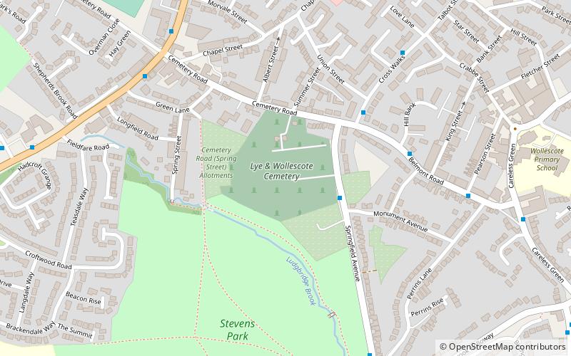
Lye and Wollescote Cemetery, Stourbridge
Map

Map

Facts and practical information
The Lye and Wollescote Cemetery is an active 9.45 acres cemetery in Lye, West Midlands, England. ()
Established: 1879 (147 years ago)Coordinates: 52°27'12"N, 2°6'54"W
Day trips
Lye and Wollescote Cemetery – popular in the area (distance from the attraction)
Nearby attractions include: intu Merry Hill, Stourbridge Library, Hagley Hall, Wychbury Obelisk.
Frequently Asked Questions (FAQ)
Which popular attractions are close to Lye and Wollescote Cemetery?
Nearby attractions include Lye, Stourbridge (10 min walk), Stambermill Viaduct, Dudley (22 min walk).
How to get to Lye and Wollescote Cemetery by public transport?
The nearest stations to Lye and Wollescote Cemetery:
Bus
Train
Bus
- Springfield Ave / Monument Avenue • Lines: 298, 299 (2 min walk)
- Crosswalks Rd / Union St • Lines: 298 (5 min walk)
Train
- Lye (12 min walk)
- Stourbridge Junction (23 min walk)


