Purley Way, Banstead

Gallery (1)
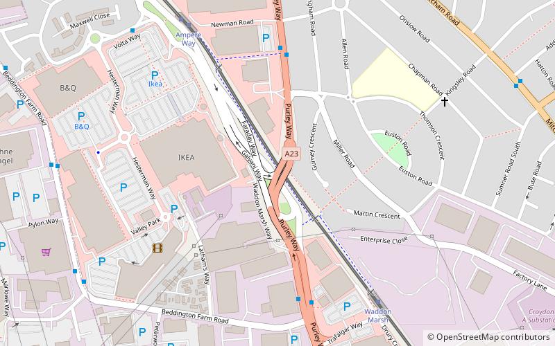
Map
Map
Facts and practical information
Purley Way is a section of the A23 trunk road in the London Borough of Croydon, in the areas of Purley, Waddon and Broad Green, and has given its name to the out-of-town shopping area alongside it with a catchment area covering most of South London. ()
Coordinates: 51°22'46"N, 0°7'15"W
Address
Croydon (Broad Green)Banstead
ContactAdd
Social media
Add
Getting there by public transportation
Public transportation stops near this location
- Bus
- Tram
- Train
 Bus
Bus
- Calculate routeNewman Road 5 min walk
- Calculate routePurley Way / Beddington Farm Road 5 min walk
- Calculate routeAmpere Way Tram Stop / Valley Park 6 min walk
- Calculate routeFranklin Way / Valley Park 7 min walk
- Calculate routeWaddon Marsh 6 min walk
- Calculate routeAmpere Way 7 min walk
- Calculate routeWandle Park 14 min walk
- Calculate routeTherapia Lane 15 min walk
- Calculate routeWest Croydon 21 min walk
- Calculate routeWaddon 22 min walk
Day trips


Frequently Asked Questions (FAQ)
Which popular attractions are close to Purley Way?
Nearby attractions include Wandle Park, London (14 min walk), Waddon Ponds, Banstead (17 min walk), Croydon Mosque, London (20 min walk), Croydon Minster, London (21 min walk).
How to get to Purley Way by public transport?
The nearest stations to Purley Way:
Bus
Tram
Train
Bus
- Newman Road • Lines: 289, 663 (5 min walk)
- Purley Way / Beddington Farm Road • Lines: 289, 455, 663 (5 min walk)
Tram
- Waddon Marsh • Lines: 2, 4 (6 min walk)
- Ampere Way • Lines: 2, 4 (7 min walk)
Train
- West Croydon (21 min walk)
- Waddon (22 min walk)