Pawnee Pass, Roosevelt National Forest
Map
Facts and practical information
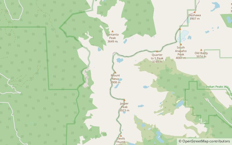
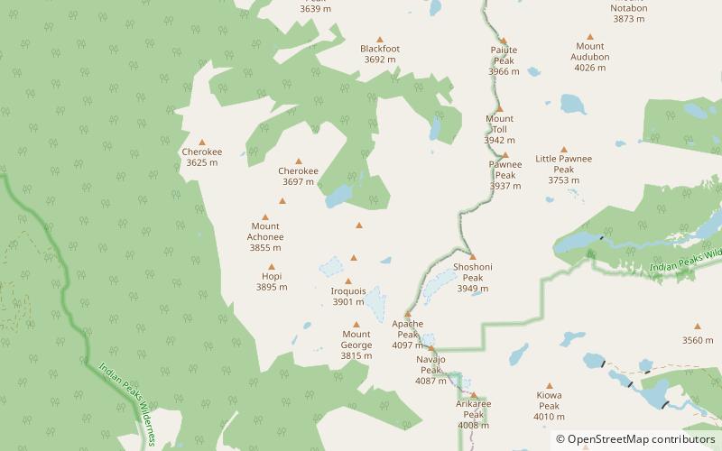
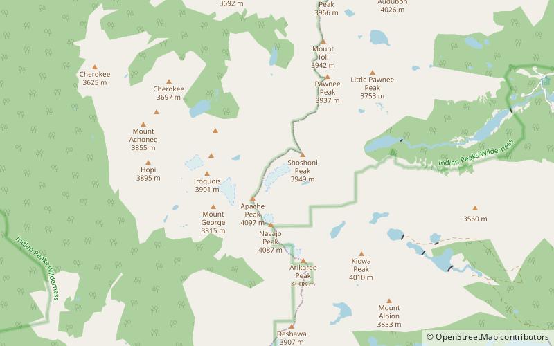
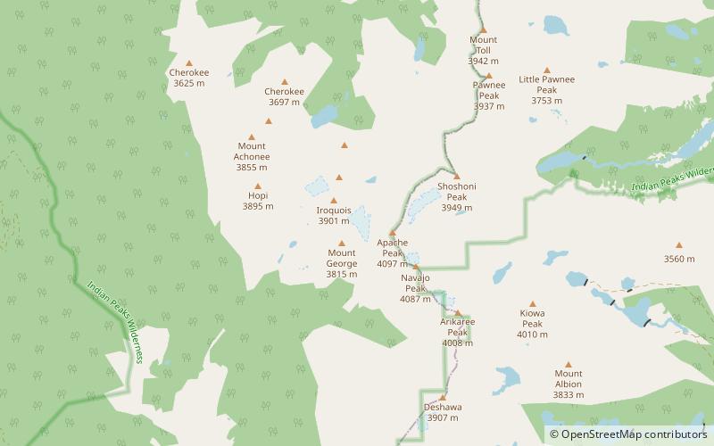
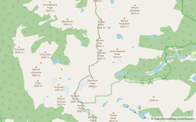
Pawnee Pass, elevation 12,542 ft, is a mountain pass that crosses the Continental Divide in the Indian Peaks of the Rocky Mountains of Colorado in the United States. It is located near the Long Lake Trailhead in the Brainard Lake Recreation Area of the Indian Peaks Wilderness. The Pawnee Pass Trail goes up the valley through wooded terrain and makes a short climb to Lake Isabelle. The Cascade Creek Trail continues west from Pawnee Pass. ()
Maximum elevation: 12542 ftCoordinates: 40°4'33"N, 105°38'6"W
Address
Roosevelt National Forest
ContactAdd
Social media
Add
Day trips