Poet's Beach, Portland
Map

Map

Facts and practical information
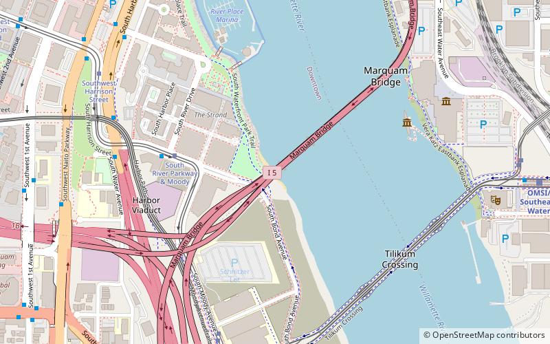
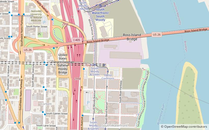
Poet's Beach is an urban beach along the Willamette River, near Portland, Oregon's Marquam Bridge, in the northwestern United States. ()
Coordinates: 45°30'24"N, 122°40'16"W
Address
Portland
ContactAdd
Social media
Add
Day trips
Poet's Beach – popular in the area (distance from the attraction)
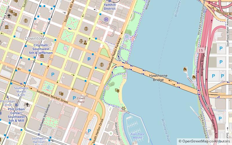
Nearby attractions include: Oregon Museum of Science and Industry, Keller Fountain Park, Hawthorne Bridge bicycle counter, Marquam Bridge.
Frequently Asked Questions (FAQ)
Which popular attractions are close to Poet's Beach?
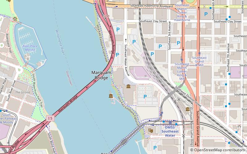
Nearby attractions include Marquam Bridge, Portland (4 min walk), Tilikum Crossing, Portland (6 min walk), Oregon Museum of Science and Industry, Portland (7 min walk), USS Blueback, Portland (8 min walk).
How to get to Poet's Beach by public transport?
The nearest stations to Poet's Beach:
Tram
Bus
Light rail
Tram
- South River Parkway & Moody • Lines: A, B, Ns (4 min walk)
- South Moody & Meade • Lines: A, B, Ns (7 min walk)
Bus
- South River Parkway & River Drive • Lines: 35, 36 (5 min walk)
- Southwest Harbor & Harrison • Lines: 96 (7 min walk)
Light rail
- South Waterfront/South Moody • Lines: Orange (8 min walk)
- OMSI/Southeast Water • Lines: Orange (11 min walk)


