One Lincoln Street, Boston
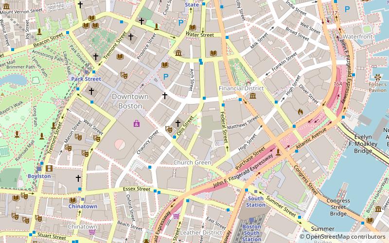
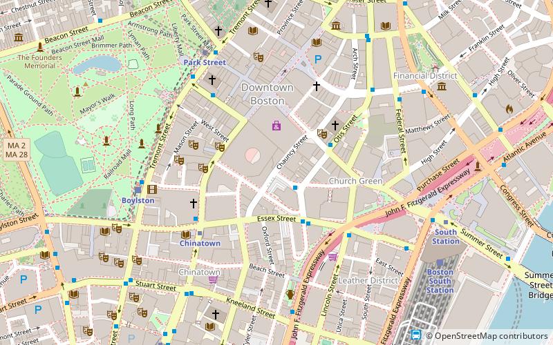
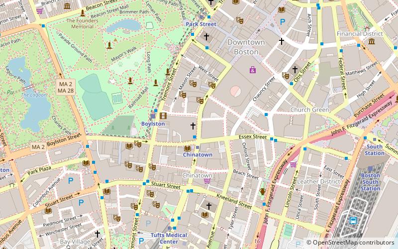
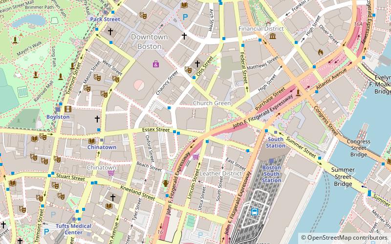
Map
Map

Facts and practical information
One Lincoln Street, also known as State Street Financial Center, is a skyscraper in Boston, Massachusetts on the edge of both the Financial District and neighborhood of Chinatown. Completed in 2003, it was built using Boston Redevelopment Authority guidelines. Standing at 503 feet tall, One Lincoln Street is the 17th-tallest building in Boston. The skyscraper has a five-level underground garage that provides parking for 900 cars. It contains 1 million square feet of office space. ()
Completed: 2003 (23 years ago)Floors: 36Coordinates: 42°21'10"N, 71°3'31"W
Address
Downtown BostonBoston
ContactAdd
Social media
Add
Day trips
One Lincoln Street – popular in the area (distance from the attraction)
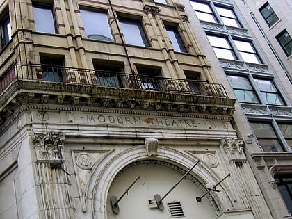
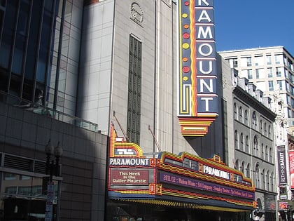
Nearby attractions include: Downtown Crossing, Opera House, Modern Theatre, Paramount Theatre.
Frequently Asked Questions (FAQ)
Which popular attractions are close to One Lincoln Street?
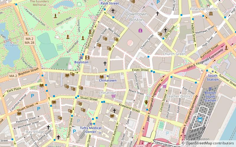
Nearby attractions include Bedford Block, Boston (1 min walk), Church Green Buildings Historic District, Boston (2 min walk), Summer Street, Boston (2 min walk), Textile District, Boston (3 min walk).
How to get to One Lincoln Street by public transport?
The nearest stations to One Lincoln Street:
Bus
Metro
Train
Light rail
Bus
- Lincoln St @ Essex St • Lines: 504 (2 min walk)
- Otis St @ Summer St • Lines: 504, 7 (3 min walk)
Metro
- South Station • Lines: Red (5 min walk)
- Downtown Crossing • Lines: Orange, Red (5 min walk)
Train
- Boston South Station (5 min walk)
- Boston Back Bay (24 min walk)
Light rail
- Boylston • Lines: B, C, D, E (8 min walk)
- Park Street • Lines: B, C, D, E (9 min walk)

 MBTA Subway

