Congress Street Grounds, Boston
Map
Facts and practical information
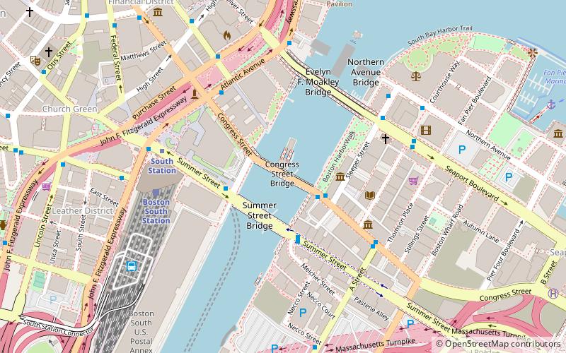
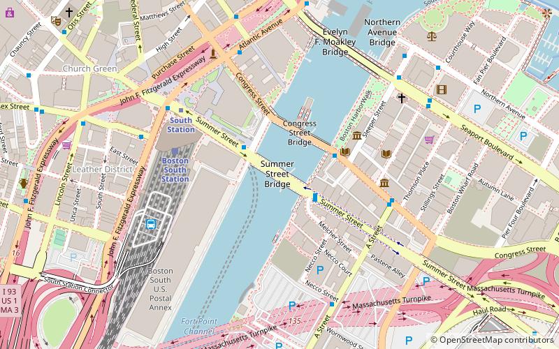
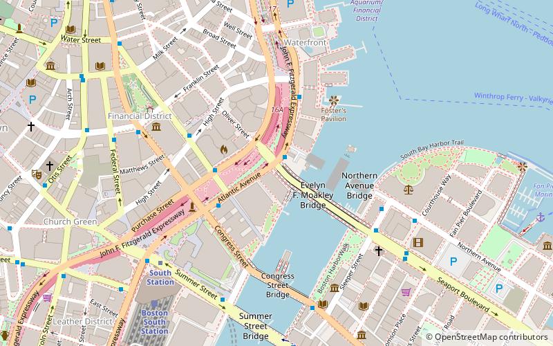
Congress Street Grounds is a former baseball ground located in Boston, Massachusetts. The ballpark, as the name implies, was along Congress Street, near the intersection of Thompson Place, and not far from the Fort Point Channel on South Boston Flats, a newly filled in piece of land on Boston Harbor. The ground was home to the Boston Reds, that played in the Players' League in 1890 and the American Association in 1891. ()
Coordinates: 42°21'7"N, 71°3'5"W
Address
Congress St.South Boston (D Street - West Broadway)Boston 02032
ContactAdd
Social media
Add
Getting there by public transportation
Public transportation stops near this location
- Metro
- Bus
- Light rail
- Train
 Metro
Metro
- Calculate routeSummer St opp Melcher St 3 min walk
- Calculate routeSouth Station Bus Terminal 7 min walk
- Calculate routeLincoln St @ Essex St 9 min walk
- Calculate routeFederal St @ Franklin St 9 min walk
- Calculate routeSouth Station 5 min walk
- Calculate routeDowntown Crossing 13 min walk
- Calculate routeAquarium 14 min walk
- Calculate routeState 14 min walk
- Calculate routeBoston South Station 6 min walk
- Calculate routeBoston North Station 30 min walk
- Calculate routePark Street 17 min walk
- Calculate routeBoylston 18 min walk
- Calculate routeGovernment Center 18 min walk
- Calculate routeHaymarket 21 min walk
Maps MBTA Subway
MBTA SubwayDay trips


Frequently Asked Questions (FAQ)
Which popular attractions are close to Congress Street Grounds?
Nearby attractions include Fort Point Channel Historic District, Boston (2 min walk), Summer Street Bridge, Boston (2 min walk), Boston Children's Museum, Boston (3 min walk), Children's Wharf Park, Boston (3 min walk).
How to get to Congress Street Grounds by public transport?
The nearest stations to Congress Street Grounds:
Bus
Metro
Train
Light rail
Bus
- Summer St opp Melcher St • Lines: 7 (3 min walk)
- South Station Bus Terminal (7 min walk)
Metro
- South Station • Lines: Red (5 min walk)
- Downtown Crossing • Lines: Orange, Red (13 min walk)
Train
- Boston South Station (6 min walk)
- Boston North Station (30 min walk)
Light rail
- Park Street • Lines: B, C, D, E (17 min walk)
- Boylston • Lines: B, C, D, E (18 min walk)