Tahoe National Forest: Nature
Places and attractions in the Nature category
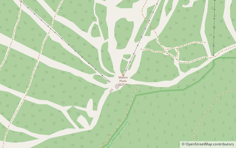
Mount Pluto
Mount Pluto is an extinct volcano in the Granite Chief Range near Lake Tahoe, California. The volcano erupted approximately 2 million years ago producing lava and mudflows that dammed Lake Tahoe.
Castle Peak
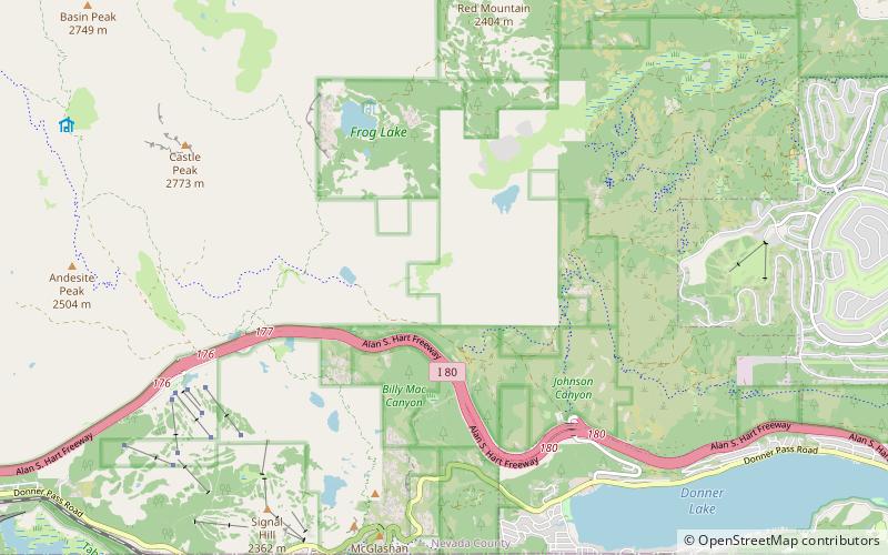
Castle Peak is a mountain in California's Sierra Nevada near I-80, Donner Pass, and the Nevada border. It is in the Tahoe National Forest not far off the Pacific Crest Trail, and adjacent to Castle Pass.
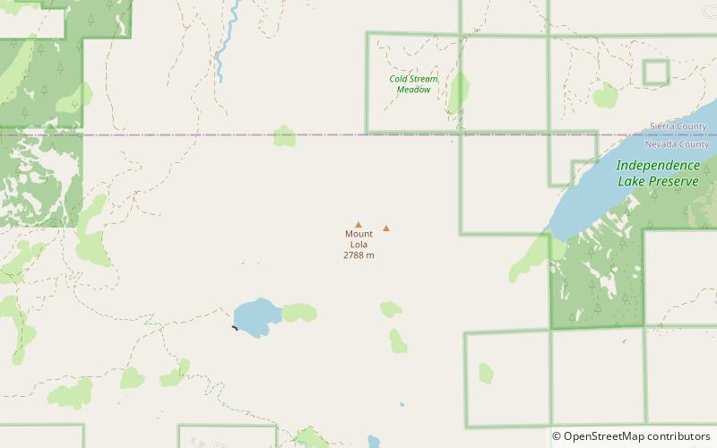
Mount Lola
Mount Lola is a mountain in the Sierra Nevada of California. Its summit, located north of Donner Pass and Interstate 80, is the highest point in Nevada County. It is also the highest point in the Sierra Nevada north of Interstate 80.
Schroeder Mountain
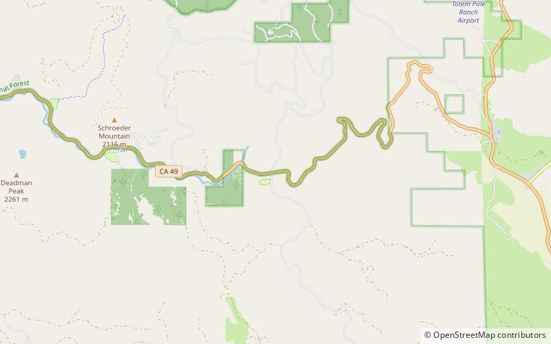
Schroeder Mountain is a mountain in the California's Sierra Nevada, on the Tahoe National Forest. It is located 0.8 miles east of California State Route 49 in Sierra County. Its elevation is 6,942 feet.
Beyers Lakes
The Beyers Lakes are located in the Tahoe National Forest, in California. They can be accessed via the Beyers Lakes Trail from Grouse Ridge Trail.
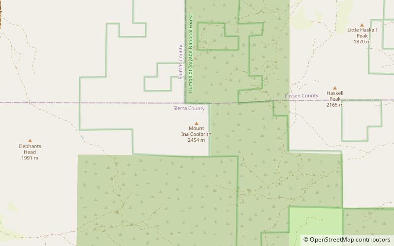
Mount Ina Coolbrith
Mount Ina Coolbrith is a mountain of the Sierra Nevada, near the Nevada border in Sierra County, Northern California.
Crystal Peak
Crystal Peak is a mountain in Sierra County, California. It is located on the south end of the Bald Mountain Range, 3 mi northeast of Sardine Valley and 16 mi northwest of Reno, Nevada.
Martis Valley
Martis Valley is a geographic area of 70 square miles in the United States, extending northward from the North Shore of Lake Tahoe, California, to the west of the California-Nevada border.
New Bullards Bar Reservoir
New Bullards Bar Reservoir is a large reservoir in northeastern Yuba County, California, United States, at an elevation of 2,000 feet in the Tahoe National Forest and about 30 miles northeast of Yuba City.
Gold Canyon
Gold Canyon is located a few miles south of Alleghany, California, on the border between Sierra and Nevada Counties. The middle fork of the Yuba River flows through the canyon. Gold mining began in Gold Canyon in the early 1850s and has continued to present day.
French Lake
French Lake, California located in Nevada County, was a California Gold Rush community, now uninhabited. It was located by a lake of the same name.
Sagehen Hills
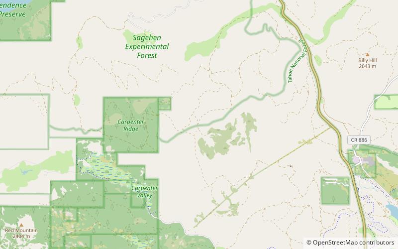
The Sagehen Hills are a low mountain range in Nevada County, California. The Sagehen Hills are part of the Sagehen Creek watershed and lie entirely within the Sagehen Experimental Forest.
Verdi Range
The Verdi Range is a mountain range in Sierra County, California that rises to 8,444 feet above sea level.
Donner Pass
Donner Pass is a 7,056-foot-high mountain pass in the northern Sierra Nevada, above Donner Lake and Donner Memorial State Park about 9 miles west of Truckee, California.
Emigrant Gap
Emigrant Gap is a gap in a ridge on the California Trail as it crosses the Sierra Nevada, to the west of what is now known as Donner Pass. Here the cliffs are so steep that, back in the 1840s, the pioneers on their way to California had to lower their wagons on ropes in order to continue.
Yuba Pass
Yuba Pass is a mountain pass on State Route 49 in Sierra County in the U.S. state of California. The pass lies at an elevation of 6,709 ft about 3.4 air miles west of Sattley, on the divide between the North Yuba River and the Middle Fork Feather River.
Henness Pass
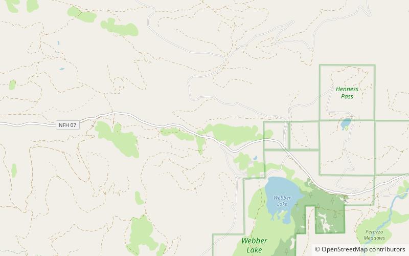
Henness Pass, elevation 6,916 ft, is a mountain pass northwest of Reno on the crest of the Sierra Nevada range in Sierra County, California. The pass is traversed by Henness Pass Road, a mostly unpaved road not generally passable by automobiles in winter. Portions of the road are recommended for high clearance vehicles only.
Little Truckee Summit
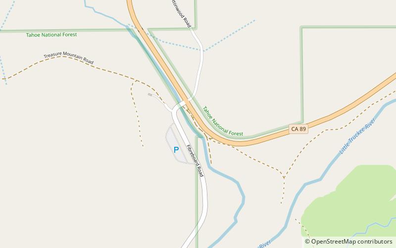
Little Truckee Summit, elevation 6,411 feet, is a mountain pass in Sierra County, California, on the Great Basin Divide between the Middle Fork Feather River to the west and the Little Truckee River to the east.
Map

