Wasatch–Cache National Forest: Natural Attraction
Places and attractions in the Natural attraction category
Bridal Veil Falls
Bridal Veil Falls is a 607-foot-tall double cataract waterfall in the south end of Provo Canyon, close to US189 in Utah, United States. Battle Creek Falls is on the same mountain side, approximately 10 miles north of Bridal Veil Falls.
Tony Grove Lake
Tony Grove Lake is a lake in Cache County, Utah. The Tony Grove Lake Campground is located on the southeast shore of the lake. The lake and campground are situated on the Logan Canyon Scenic Byway.
Mirror Lake
Mirror Lake is a lake in the high Uinta Mountains in Utah. It is a popular fishing and recreation spot. The lake contains three species of trout: rainbow, brook, and tiger.
Bald Mountain
Bald Mountain is a 11,949-foot peak in the western Uinta Mountain Range in the Uinta-Wasatch-Cache National Forest on the border between Summit and Wasatch counties in northeastern Utah, United States.
Francis Peak
Francis Peak, Elevation 9,560 feet, was named in honor of an early pioneer, Esther Charlotte Emily Weisbrodt Francis, who contributed to the colonization of the Morgan Valley in Morgan county in Utah.
Mount Ogden
Mount Ogden is a peak in Weber County, Utah, United States in the northern Wasatch Range. Mount Ogden has an elevation of 9,579 feet.
Ben Lomond Mountain
Ben Lomond, just north of Ogden, Utah, is a peak in the northern portion of the Wasatch Mountains. A popular trail passes over its summit, accessible from four different trailheads to the north, south, and east.
Cuberant Lake
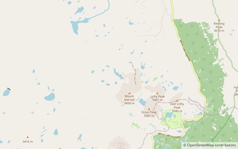
Cuberant Lake is a lake in the Uinta Mountains in Summit County, Utah, United States. It is also within the Kamas Ranger District of the Uinta-Wasatch-Cache National Forest and about 3,500 feet northwest of Mount Marsell.
Humpy Peak
Humpy Peak is a peak located in the Uinta Mountain Range in northern Utah. It is approximately 27.56 miles south of Evanston, Wyoming and 21.29 miles east of Coalville, Utah. The summit has an elevation of 10,875 feet.
American Fork Canyon
American Fork Canyon is a canyon in the Wasatch Mountains of Utah, United States. The canyon is famous for the Timpanogos Cave National Monument, which resides on its south side.
Logan Peak
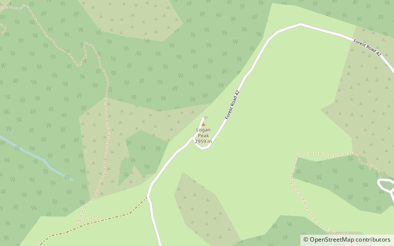
Logan Peak, commonly referred to as Mount Logan, is a peak in the Bear River Mountains, a branch of the Wasatch Range. Located six miles east-southeast of Logan, Utah in the Uinta-Wasatch-Cache National Forest, it is the second highest peak overlooking Cache Valley after Mt.
Logan Canyon
Logan Canyon is in the western United States in northeastern Utah, a canyon that cuts its way through the Bear River Mountains, a branch of the Wasatch Range.
Ogden Canyon
Ogden Canyon is a canyon in the Wasatch Range in eastern Weber County, Utah, United States, just east of Ogden.
Mount Nebo
Mount Nebo is the southernmost and highest mountain in the Wasatch Range of Utah, in the United States, and the centerpiece of the Mount Nebo Wilderness, inside the Uinta National Forest.
Harker Canyon
Harker Canyon is a canyon in southeastern Tooele County, Utah, United States, about 10 km south of the town of Vernon.
Ricks Spring
Ricks Spring is a karst spring, a natural water outflow from a cave in Logan Canyon within the Wasatch-Cache National Forest in northeast Utah. The spring is not an artesian source, but comes from the Logan River. Ricks Spring is the best known of several springs in an underground water network of the area.
Stateline Dam
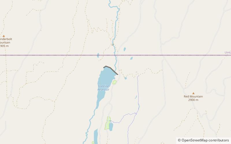
Stateline Dam is a dam in Summit County, Utah, less than a half-mile south of the Utah-Wyoming state line. The earthen rockfill dam was constructed between 1977 and 1979 by the United States Bureau of Reclamation with a height of 143 feet and 2900 feet long at its crest.
Sheeprock Mountains
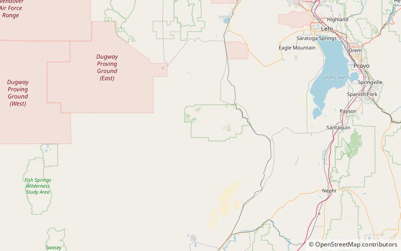
The Sheeprock Mountains are a 24-mile long mountain range located in extreme southeast Tooele County, Utah, and part of northeast Juab County.
Kletting Peak
Kletting Peak is a mountain in Summit County, Utah, named in 1964 for Utah architect Richard K.A. Kletting. It is in the High Uintas Wilderness and the Uinta-Wasatch-Cache National Forest.
Crescent Lake
Crescent Lake is a lake in northeastern Cache County, Utah, United States.
Wasatch National Forest
Wasatch National Forest was established as the Wasatch Forest Reserve by the U.S. Forest Service in Utah on August 16, 1906 with 86,440 acres to the east of Salt Lake City and Provo. It became a National Forest on March 4, 1907. On July 1, 1908 Grantsville National Forest and Salt Lake National Forest were added.
Cache National Forest
Cache National Forest is a 533,840-acre area of National Forest System land in Idaho and Utah which was established on July 1, 1908 by the U.S. Forest Service.
Beirdneau Peak
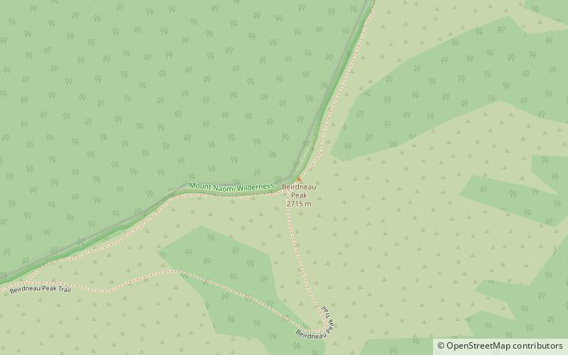
Beirdneau Peak is a mountain located in the Bear River Range of northern Utah in the United States. The mountain is roughly 8,900 feet in height and a popular site for outdoor activities.
Georgetown Summit Wildlife Management Area
Georgetown Summit Wildlife Management Area at 3,349 acres is an Idaho wildlife management areain Bear Lake County near the town of Carey. Land for the WMA was first acquired in 1991 from the Rocky Mountain Elk Foundation near Caribou National Forest.
Strawberry Reservoir
Strawberry Reservoir is a large reservoir in the U.S. state of Utah. It is Utah's most popular fishery, receiving over 1.5 million angling hours annually and is part of the Blue Ribbon Fisheries program.
Monte Cristo Range
The Monte Cristo Range of Utah is a 30 miles long mountain range in the extreme northeast of the state. It parallels the Bear River Mountains to the west, but is only about half its length.
Currant Creek Dam
Currant Creek Dam is a dam in Wasatch County, Utah. The earthen dam was constructed in 1974–1975 by the United States Bureau of Reclamation to a height of 164 feet and a length of 1,600 feet at its crest.
Wasatch Range
The Wasatch Range or Wasatch Mountains is a mountain range in the western United States that runs about 160 miles from the Utah-Idaho border south to central Utah.
Bear River Mountains
The Bear River Range, is a mountain range located in northeastern Utah and southeastern Idaho in the western United States.
Wellsville Mountains
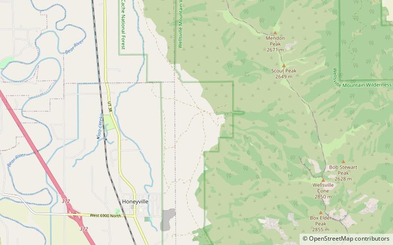
The Wellsville Mountains are located in northern Utah, United States and are often considered part of the Wasatch Mountains.
Map


