Brentwood-Darlington, Portland
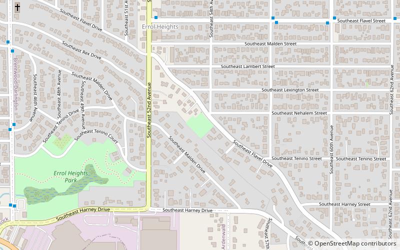
Map
Facts and practical information
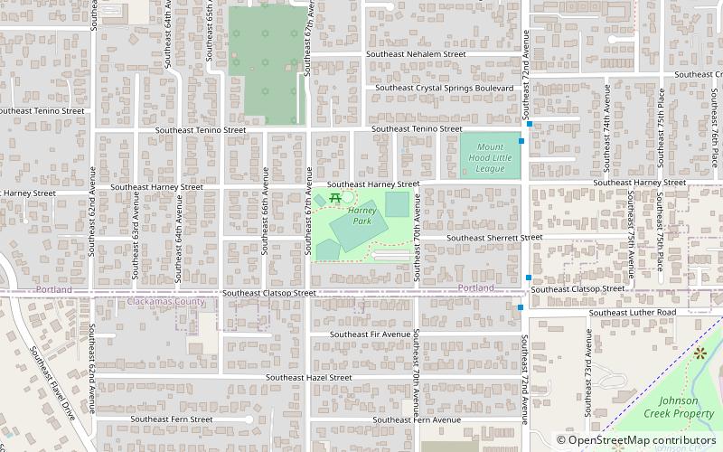
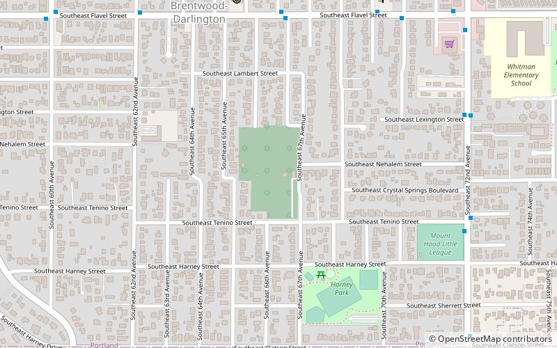
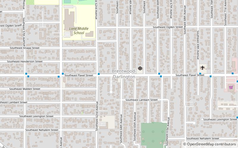
Brentwood-Darlington is a neighborhood on the southern edge of Portland, Oregon, bordering SE 45th Avenue to the west, SE Duke Street to the north, and SE 82nd Avenue to the east. The county line separating Multnomah County from Clackamas County forms most of the neighborhood's southern boundary, though small portions of the neighborhood and the city extend into Clackamas County. Roughly, the southern boundary is SE Harney Drive on the eastern one-fourth, and SE Clatsop Street on the other three-quarters. ()
Coordinates: 45°28'7"N, 122°35'53"W
Day trips
Brentwood-Darlington – popular in the area (distance from the attraction)
Nearby attractions include: Errol Heights Park, Delta Cafe, Mt. Scott Park, Hazeltine Park.
Frequently Asked Questions (FAQ)
Which popular attractions are close to Brentwood-Darlington?
Nearby attractions include Congregation Shaarie Torah Cemetery, Portland (8 min walk), Harney Park, Portland (13 min walk), Hazeltine Park, Portland (14 min walk), Flavel Park, Portland (20 min walk).
How to get to Brentwood-Darlington by public transport?
The nearest stations to Brentwood-Darlington:
Bus
Light rail
Bus
- Southeast Flavel & 64th • Lines: 71 (1 min walk)
Light rail
- Southeast Fuller Road • Lines: Green (41 min walk)
