Polk Street, San Francisco

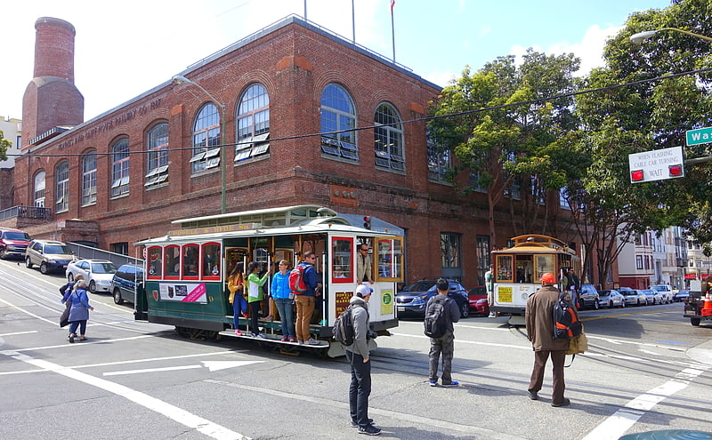
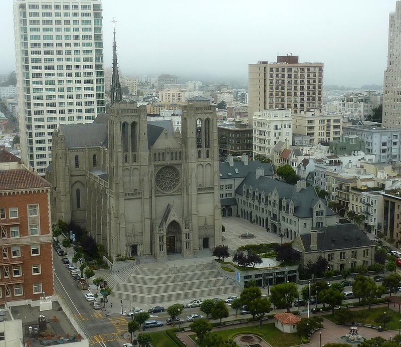
Gallery (1)
Map
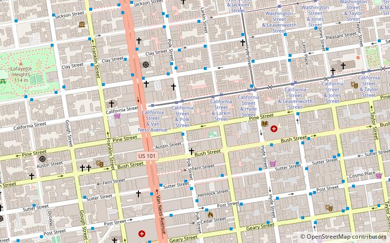
Map
Facts and practical information
Polk Street is a street in San Francisco, California, that travels northward from Market Street to Beach Street and is one of the main thoroughfares of the Polk Gulch neighborhood traversing through the Tenderloin, Nob Hill, and Russian Hill neighborhoods. The street takes its name from former U.S. President James K. Polk. ()
Coordinates: 37°47'24"N, 122°25'12"W
Getting there by public transportation
Public transportation stops near this location
- Metro
- Bus
- Trolleybus
- Tram
- Light rail
 Metro
Metro
- Calculate routePolk Street & Pine Street 1 min walk
- Calculate routeHyde Street & Pine Street 4 min walk
- Calculate routeCalifornia Street & Polk Street 2 min walk
- Calculate routeCalifornia Street & Larkin Street 3 min walk
- Calculate routeCalifornia Street & Van Ness Avenue 3 min walk
- Calculate routeCalifornia Street & Hyde Street 4 min walk
- Calculate routeSacramento Street & Larkin Street 4 min walk
- Calculate routeClay Street & Polk Street 5 min walk
- Calculate routePowell Street 20 min walk
- Calculate routeCivic Center 21 min walk
- Calculate routeMontgomery Street 26 min walk
- Calculate routeVan Ness 26 min walk
- Calculate routePowell Street 21 min walk
- Calculate routeCivic Center 21 min walk
Maps Muni Metro
Muni MetroDay trips


Frequently Asked Questions (FAQ)
Which popular attractions are close to Polk Street?
Nearby attractions include Second Church of Christ, San Francisco (6 min walk), Tendernob, San Francisco (6 min walk), C. A. Belden House, San Francisco (7 min walk), Academy of Art University Automobile Museum, San Francisco (8 min walk).
How to get to Polk Street by public transport?
The nearest stations to Polk Street:
Bus
Tram
Trolleybus
Light rail
Metro
Bus
- Polk Street & Pine Street • Lines: 19 (1 min walk)
- Hyde Street & Pine Street • Lines: 27 (4 min walk)
Tram
- California Street & Polk Street (2 min walk)
- California Street & Larkin Street (3 min walk)
Trolleybus
- Sacramento Street & Larkin Street • Lines: 1 (4 min walk)
- Clay Street & Polk Street • Lines: 1 (5 min walk)
Light rail
- Powell Street • Lines: K, N, S, T (20 min walk)
- Civic Center • Lines: K, N, S, T (21 min walk)
Metro
- Powell Street • Lines: Blue, Green, Red, Yellow (21 min walk)
- Civic Center • Lines: Blue, Green, Red, Yellow (21 min walk)