Atlantic Avenue, Boston
Map
Facts and practical information
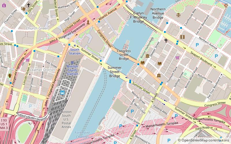
Atlantic Avenue is a street in downtown Boston, Massachusetts, partly serving as a frontage road for the underground Central Artery and partly running along the Boston Harbor. It has a long history, with several relocations along the way. ()
Coordinates: 42°20'9"N, 71°3'3"W
Address
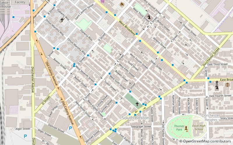
South Boston (D Street - West Broadway)Boston
ContactAdd
Social media
Add
Getting there by public transportation
Public transportation stops near this location
- Metro
- Bus
- Light rail
- Train
 Metro
Metro
- Calculate routeW Broadway @ E St 4 min walk
- Calculate route442 W Broadway 6 min walk
- Calculate routeAndrew 14 min walk
- Calculate routeBroadway 14 min walk
- Calculate routeJFK/UMass 28 min walk
- Calculate routeTufts Medical Center 30 min walk
- Calculate routeNewmarket 25 min walk
- Calculate routeJFK/UMass 28 min walk
- Calculate routeBoston South Station 29 min walk
- Calculate routeUphams Corner 38 min walk
- Calculate routeArlington 39 min walk
Maps MBTA Subway
MBTA SubwayDay trips
Atlantic Avenue – popular in the area (distance from the attraction)
Nearby attractions include: South Bay Harbor Trail, Cathedral of St. George Historic District, Boston Convention & Exhibition Center, Cathedral of the Holy Cross.


Frequently Asked Questions (FAQ)
Which popular attractions are close to Atlantic Avenue?
Nearby attractions include Saint Augustine Chapel and Cemetery, Boston (4 min walk), D Street Projects, Boston (7 min walk), South Boston, Boston (7 min walk), Dorchester Heights, Boston (9 min walk).
How to get to Atlantic Avenue by public transport?
The nearest stations to Atlantic Avenue:
Bus
Metro
Train
Light rail
Bus
- W Broadway @ E St • Lines: 9 (4 min walk)
- 442 W Broadway • Lines: 9 (6 min walk)
Metro
- Andrew • Lines: Red (14 min walk)
- Broadway • Lines: Red (14 min walk)
Train
- Newmarket (25 min walk)
- JFK/UMass (28 min walk)
Light rail
- Arlington • Lines: B, C, D, E (39 min walk)