National Capital Parks-East, Washington D.C.
Map
Facts and practical information
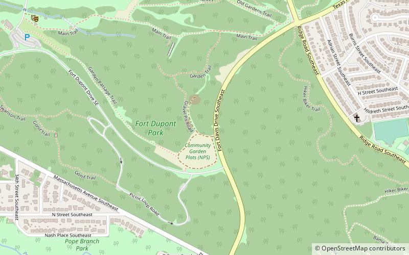
National Capital Parks-East is an administrative grouping of multiple National Park Service sites east of the United States Capitol in Washington, D.C., and in the state of Maryland. These sites include: ()
Coordinates: 38°52'42"N, 76°58'9"W
Address
Southeast WashingtonWashington D.C.
ContactAdd
Social media
Add
Getting there by public transportation
Public transportation stops near this location
- Metro
 Metro
Metro
- Calculate routeStadium–Armory 19 min walk
- Calculate routePotomac Avenue 23 min walk
Day trips


Frequently Asked Questions (FAQ)
Which popular attractions are close to National Capital Parks-East?
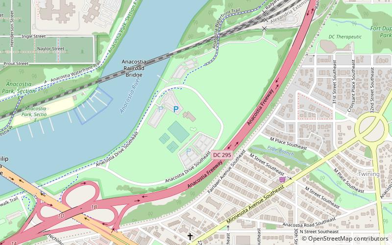
Nearby attractions include Anacostia Park, Washington D.C. (1 min walk), Anacostia Railroad Bridge, Washington D.C. (5 min walk), Engine Company 19, Suitland (10 min walk), John Philip Sousa Bridge, Washington D.C. (13 min walk).
How to get to National Capital Parks-East by public transport?
The nearest stations to National Capital Parks-East:
Metro
Metro
- Stadium–Armory • Lines: Bl, Or, Sv (19 min walk)
- Potomac Avenue • Lines: Bl, Or, Sv (23 min walk)