Hillbrook, Washington D.C.
Map
Facts and practical information
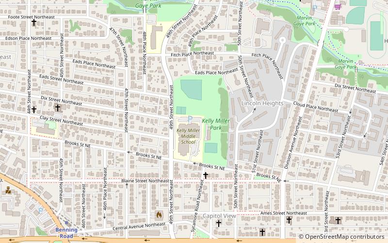
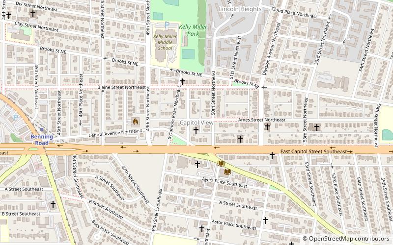
Hillbrook is a neighborhood in Northeast Washington, D.C. It is bounded by Nannie Helen Burroughs Avenue to the north, Brooks Street to the south, 44th Street NE to the west, and Division Avenue to the east. ()
Coordinates: 38°53'38"N, 76°55'55"W
Address
Northeast Washington (Benning)Washington D.C.
ContactAdd
Social media
Add
Getting there by public transportation
Public transportation stops near this location
- Metro
- Bus
 Metro
Metro
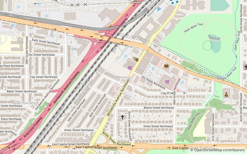
- Calculate routeBenning Road 11 min walk
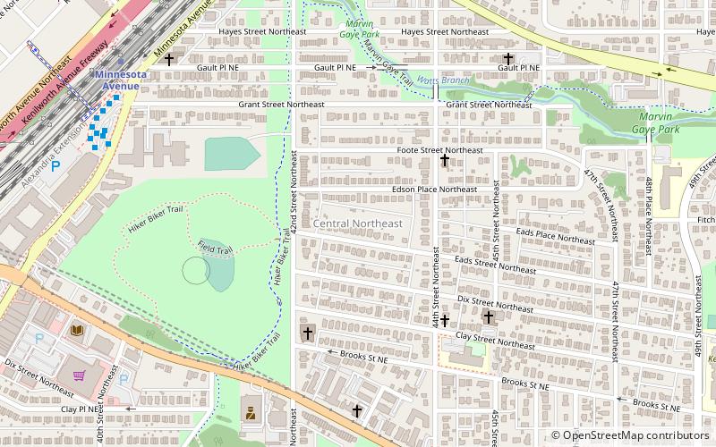
- Calculate routeMinnesota Avenue Metro 23 min walk
- Calculate routeDeanwood Metro 25 min walk
- Calculate routeCapitol Heights Metro 27 min walk
Day trips


Frequently Asked Questions (FAQ)
Which popular attractions are close to Hillbrook?
Nearby attractions include Capitol View, Washington D.C. (6 min walk), Capitol View Neighborhood Library, Washington D.C. (10 min walk), Central Northeast, Washington D.C. (14 min walk), Marshall Heights, Washington D.C. (15 min walk).
How to get to Hillbrook by public transport?
The nearest stations to Hillbrook:
Metro
Bus
Metro
- Benning Road • Lines: Bl, Sv (11 min walk)
Bus
- Minnesota Avenue Metro • Lines: U4, U5, U6, U7, V2, V4, V7, V8, X1, X2, X3, X9 (23 min walk)
- Deanwood Metro • Lines: R12, U7, W4 (25 min walk)