Benning Ridge, Washington D.C.
Map
Facts and practical information
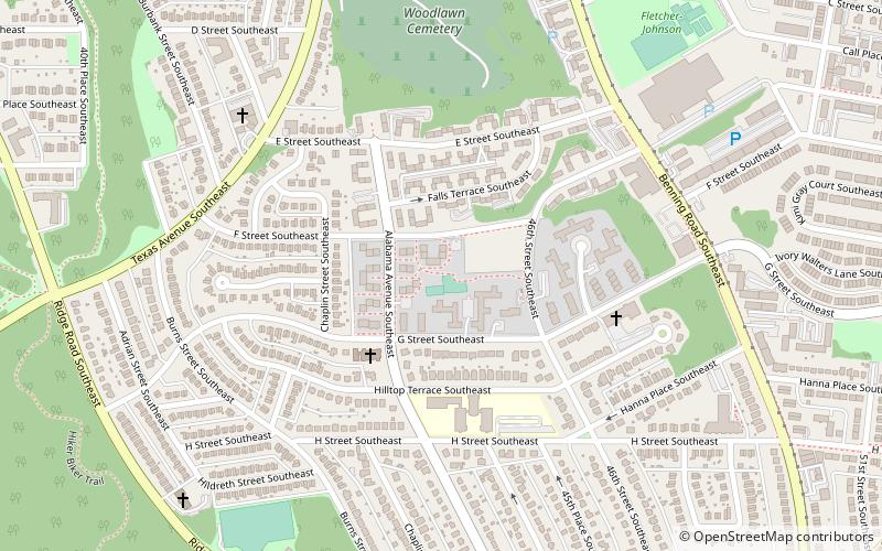
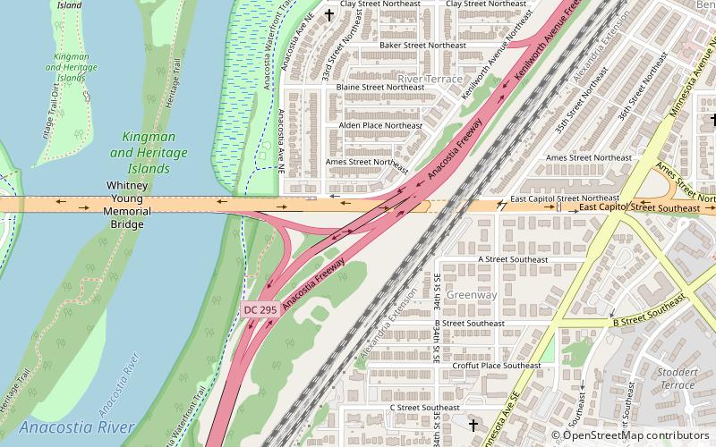
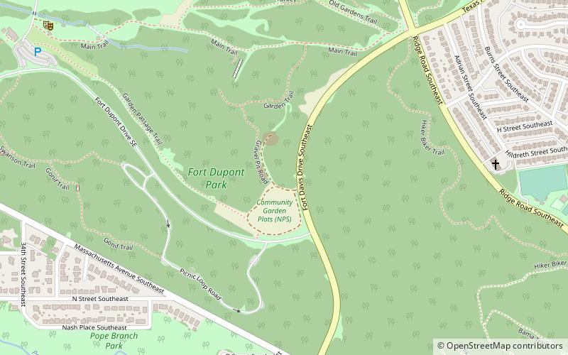
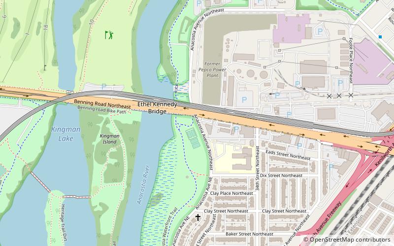
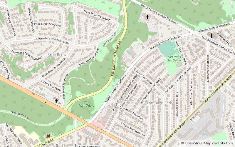
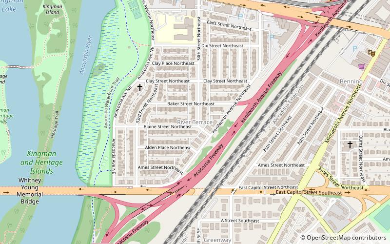
Benning Ridge is a residential neighborhood located in Southeast Washington, D.C. It is bounded by Fort Chaplin Park to the northwest, Southern Avenue to the south, Benning Road to the east, and Ridge Road SE to the west. Benning Ridge is an unusual neighborhood for its location east of the Anacostia River: although it is surrounded by working-class and low-income African American neighborhoods, Benning Ridge is rather affluent, with a diverse population of middle- and upper-middle-class white and black residents. As of 2015 the neighbourhood was one of the top ten most liberal neighbourhoods in Washington D.C.. ()
Coordinates: 38°52'52"N, 76°56'18"W
Address
Southeast Washington (Fort Dupont)Washington D.C.
ContactAdd
Social media
Add
Getting there by public transportation
Public transportation stops near this location
- Metro
- Bus
 Metro
Metro
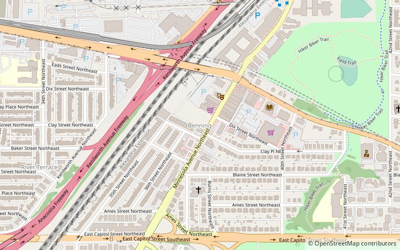
- Calculate routeBenning Road 18 min walk
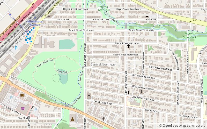
- Calculate routeMinnesota Avenue Metro 33 min walk
Day trips


Frequently Asked Questions (FAQ)
Which popular attractions are close to Benning Ridge?
Nearby attractions include Benning Terrace, Washington D.C. (2 min walk), Benning Heights, Washington D.C. (4 min walk), Civic Betterment, Washington D.C. (13 min walk), Marshall Heights, Washington D.C. (16 min walk).
How to get to Benning Ridge by public transport?
The nearest stations to Benning Ridge:
Metro
Bus
Metro
- Benning Road • Lines: Bl, Sv (18 min walk)
Bus
- Minnesota Avenue Metro • Lines: U4, U5, U6, U7, V2, V4, V7, V8, X1, X2, X3, X9 (33 min walk)