Capitol View Neighborhood Library, Washington D.C.
Map
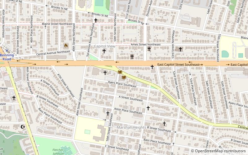
Map

Facts and practical information
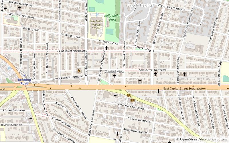
The Capitol View Neighborhood Library is part of the District of Columbia Public Library System. It was opened to the public on January 23, 1965, after 10 years of advocacy by the Capitol View community. ()
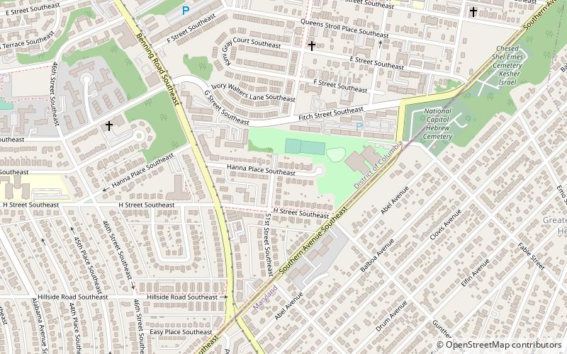
Coordinates: 38°53'20"N, 76°55'46"W
Address
Northeast Washington (Marshall Heights - Lincoln Heights)Washington D.C.
ContactAdd
Social media
Add
Day trips
Capitol View Neighborhood Library – popular in the area (distance from the attraction)
Nearby attractions include: First Baptist Church of Deanwood, Fort Dupont Park, Benning / Dorothy I. Height Neighborhood Library, Benning Ridge.
Frequently Asked Questions (FAQ)
Which popular attractions are close to Capitol View Neighborhood Library?
Nearby attractions include Capitol View, Washington D.C. (4 min walk), Marshall Heights, Washington D.C. (5 min walk), Hillbrook, Washington D.C. (10 min walk), Benning Heights, Washington D.C. (16 min walk).
How to get to Capitol View Neighborhood Library by public transport?
The nearest stations to Capitol View Neighborhood Library:
Metro
Bus
Metro
- Benning Road • Lines: Bl, Sv (14 min walk)
Bus
- Capitol Heights Metro • Lines: 24, 25, 96, 97, A12, F14, V2, V4, X9 (22 min walk)
- Minnesota Avenue Metro • Lines: U4, U5, U6, U7, V2, V4, V7, V8, X1, X2, X3, X9 (30 min walk)


