Capitol View, Washington D.C.
Facts and practical information
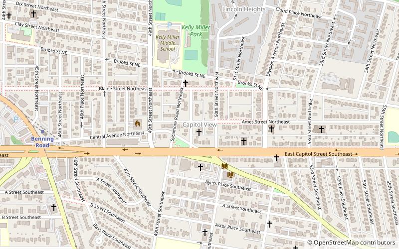
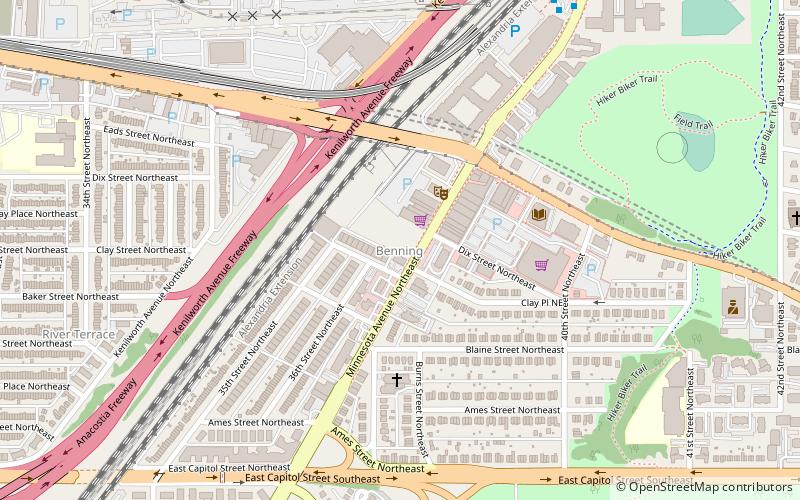
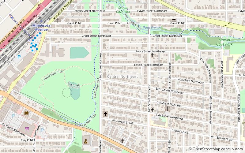
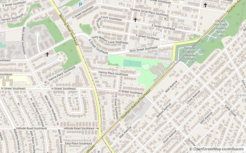
Capitol View is a neighborhood located in southeast Washington, D.C., in the United States. It is bounded by East Capitol Street to the north, Central Avenue SE to the southwest and south, and Southern Avenue SE to the southeast. Still overwhelmingly African-American, it is a thriving middle class neighborhood. Parts of the neighborhood became one of the city's most violent and drug-ridden areas in the 1980s and 1990s. The Capitol View neighborhood saw several large, poorly maintained public housing projects demolished in the 2010s. The government of the District of Columbia partnered with private real estate developers to construct the Capitol Gateway mixed-use development between 2000 and 2010. ()
Northeast Washington (Marshall Heights - Lincoln Heights)Washington D.C.
- Metro
- Bus
 Metro
Metro
- Calculate routeBenning Road 11 min walk
- Calculate routeCapitol Heights Metro 24 min walk
- Calculate routeMinnesota Avenue Metro 26 min walk
- Calculate routeDeanwood Metro 31 min walk


Frequently Asked Questions (FAQ)
Which popular attractions are close to Capitol View?
How to get to Capitol View by public transport?
Metro
- Benning Road • Lines: Bl, Sv (11 min walk)
Bus
- Capitol Heights Metro • Lines: 24, 25, 96, 97, A12, F14, V2, V4, X9 (24 min walk)
- Minnesota Avenue Metro • Lines: U4, U5, U6, U7, V2, V4, V7, V8, X1, X2, X3, X9 (26 min walk)