Georgia State Arena, Atlanta
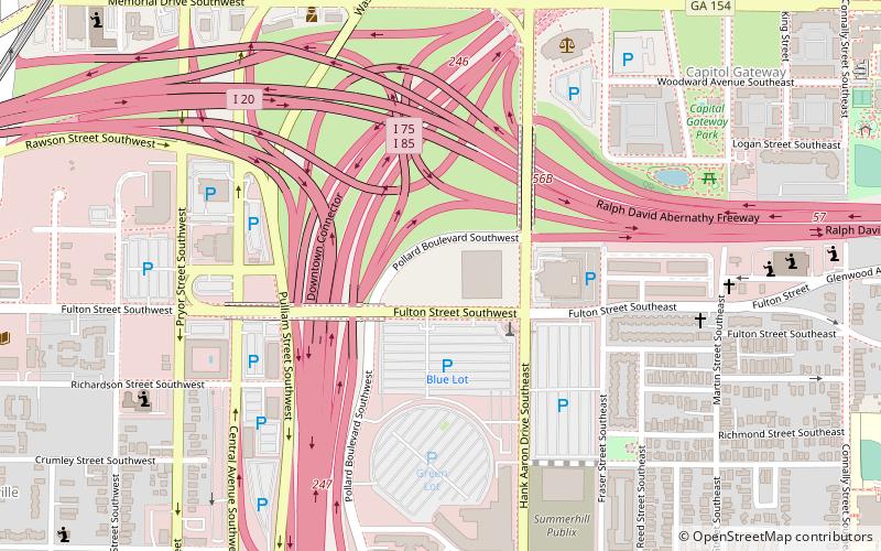
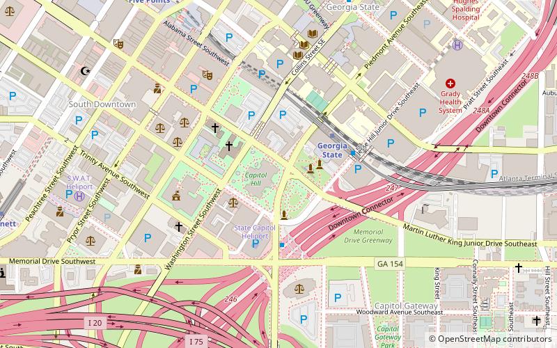
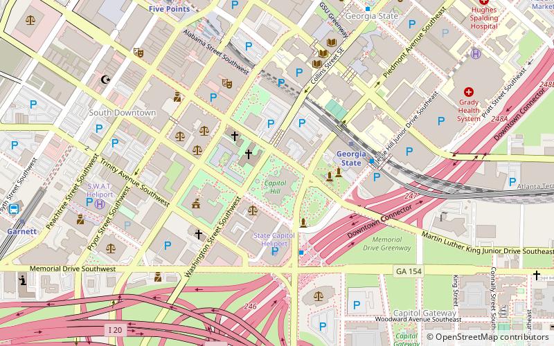
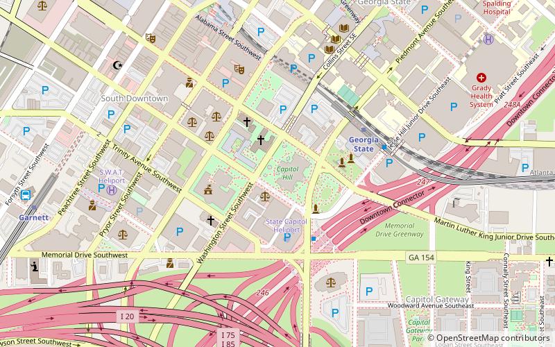
Map
Facts and practical information
GSU Convocation Center is the tentative name of an under-construction multi-purpose 8,000-seat indoor arena being built in Atlanta, Georgia. It will house the Georgia State Panthers men's and women's basketball teams along with the women's volleyball team. The arena will be owned by Georgia State University. ()
Coordinates: 33°44'33"N, 84°23'22"W
Address
Intown South (Summerhill)Atlanta
ContactAdd
Social media
Add
Getting there by public transportation
Public transportation stops near this location
- Metro
- Bus
- Tram
 Metro
Metro
- Calculate routeGarnett 14 min walk
- Calculate routeGeorgia State 15 min walk
- Calculate routeFive Points 21 min walk
- Calculate routeKing Memorial 25 min walk
- Calculate routeAtlanta Greyhound Bus Station 15 min walk
- Calculate routeHurt Park 22 min walk
- Calculate routePark Place 23 min walk
- Calculate routeWoodruff Park 24 min walk
- Calculate routeSweet Auburn Market 26 min walk
Day trips


Frequently Asked Questions (FAQ)
Which popular attractions are close to Georgia State Arena?
Nearby attractions include City Hall, Atlanta (11 min walk), Statue of Eugene Talmadge, Atlanta (11 min walk), Statue of Ellis Arnall, Atlanta (12 min walk), Miss Freedom, Atlanta (12 min walk).
How to get to Georgia State Arena by public transport?
The nearest stations to Georgia State Arena:
Metro
Bus
Tram
Metro
- Garnett • Lines: Gold, Red (14 min walk)
- Georgia State • Lines: Blue, Green (15 min walk)
Bus
- Atlanta Greyhound Bus Station (15 min walk)
Tram
- Hurt Park • Lines: Atlanta Streetcar (22 min walk)
- Park Place • Lines: Atlanta Streetcar (23 min walk)