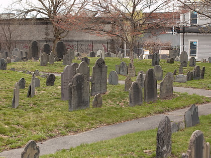
Melnea Cass Boulevard, Boston
Map
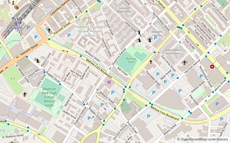
Map

Facts and practical information
Melnea Cass Boulevard is a street in Boston, Massachusetts, running perpendicular to the line between Dudley Square in Roxbury and the South End. It is named after local community and civil rights activist Melnea Cass. The road's right-of-way was originally planned to be part of Interstate 695, until its cancellation. There is also an MBTA Silver Line station named Melnea Cass Boulevard on this street. ()
Coordinates: 42°20'2"N, 71°4'55"W
Address
Roxbury (Lower Roxbury)Boston
ContactAdd
Social media
Add
Day trips
Melnea Cass Boulevard – popular in the area (distance from the attraction)
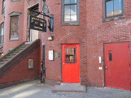
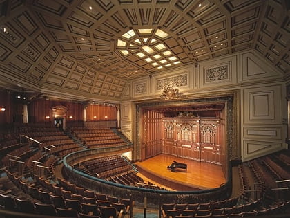
Nearby attractions include: Wally's Cafe, Matthews Arena, New England Conservatory of Music, Snell Library.
Frequently Asked Questions (FAQ)
Which popular attractions are close to Melnea Cass Boulevard?
Nearby attractions include Eliot Burying Ground, Boston (4 min walk), Ascension-Caproni Historic District, Boston (4 min walk), Frederick Douglass Square Historic District, Boston (5 min walk), Lower Roxbury Historic District, Boston (8 min walk).
How to get to Melnea Cass Boulevard by public transport?
The nearest stations to Melnea Cass Boulevard:
Bus
Train
Metro
Light rail
Bus
- Washington St @ Williams St • Lines: 1 (4 min walk)
- Melnea Cass Blvd @ Harrison Ave • Lines: 1 (5 min walk)
Train
- Ruggles (11 min walk)
- Newmarket (24 min walk)
Metro
- Ruggles • Lines: Orange (12 min walk)
- Massachusetts Avenue • Lines: Orange (13 min walk)
Light rail
- Northeastern • Lines: E (15 min walk)
- Symphony • Lines: E (17 min walk)

 MBTA Subway