Civic Betterment, Washington D.C.
Map
Facts and practical information
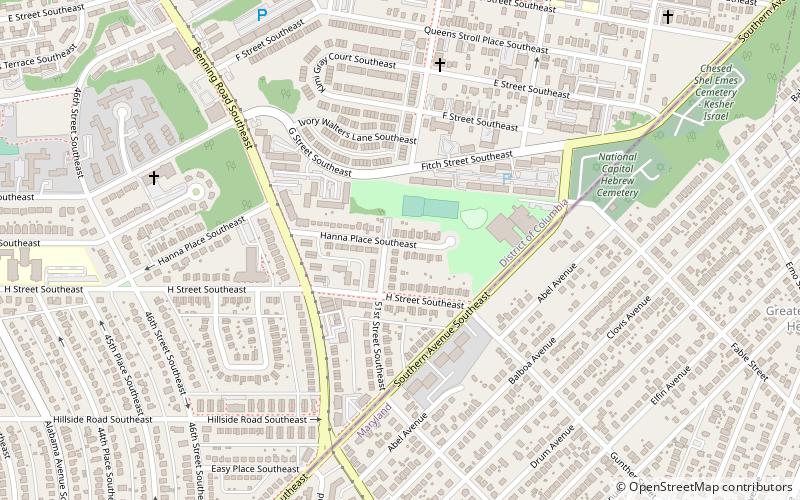
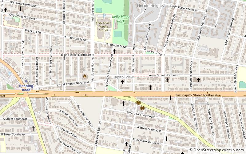
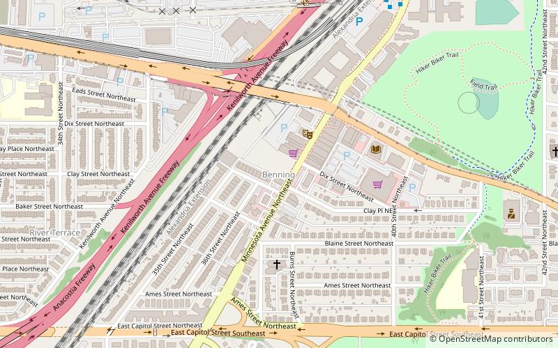
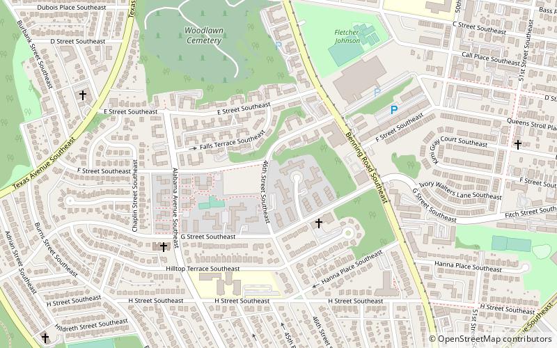
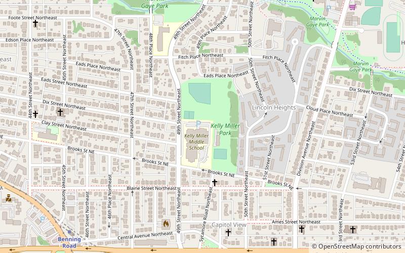
Civic Betterment is a small neighborhood located in Southeast Washington, D.C., on the border of Prince George's County, Maryland. It is triangular in area, bounded by G and Fitch Streets SE to the north, Benning Road SE to the southwest, and Southern Avenue to the southeast. ()
Coordinates: 38°52'45"N, 76°55'46"W
Address
Northeast Washington (Marshall Heights - Lincoln Heights)Washington D.C.
ContactAdd
Social media
Add
Getting there by public transportation
Public transportation stops near this location
- Metro
- Bus
 Metro
Metro
- Calculate routeBenning Road 25 min walk
- Calculate routeCapitol Heights Metro 29 min walk
Day trips


Frequently Asked Questions (FAQ)
Which popular attractions are close to Civic Betterment?
Nearby attractions include Benning Heights, Washington D.C. (10 min walk), Benning Terrace, Washington D.C. (12 min walk), Benning Ridge, Washington D.C. (13 min walk), Marshall Heights, Washington D.C. (13 min walk).
How to get to Civic Betterment by public transport?
The nearest stations to Civic Betterment:
Metro
Bus
Metro
- Benning Road • Lines: Bl, Sv (25 min walk)
Bus
- Capitol Heights Metro • Lines: 24, 25, 96, 97, A12, F14, V2, V4, X9 (29 min walk)