Oxmoor Farm, Louisville

Gallery (1)
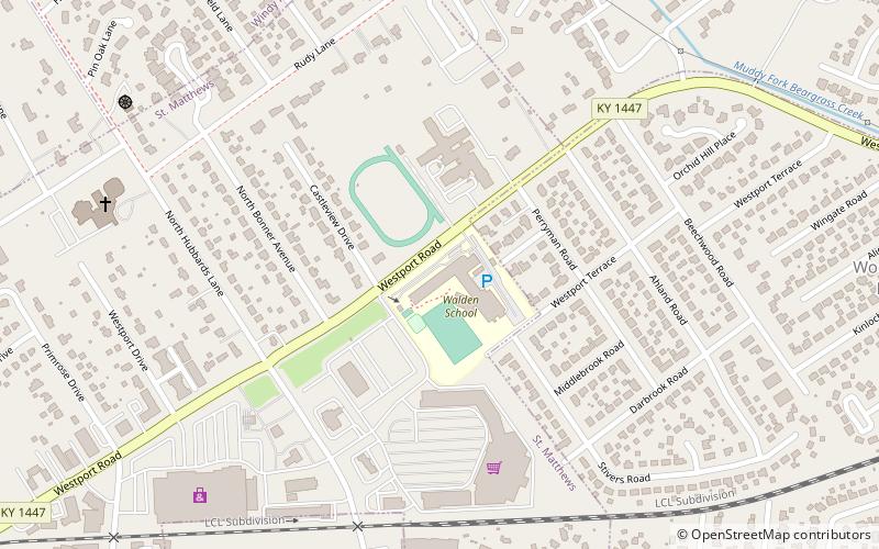
Map

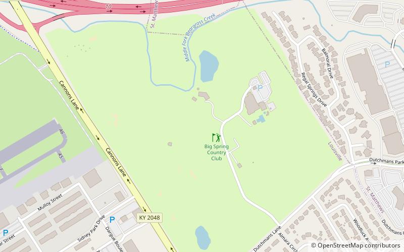
Map
Facts and practical information
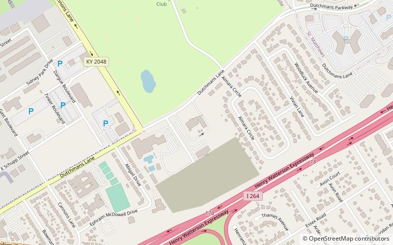
Oxmoor Farm is an estate in Louisville, Kentucky located 8 miles east of downtown. It was listed on the National Register of Historic Places in 1976. It has also been termed Oxmoor or the Bullitt Estate. ()
Built: 1787 (238 years ago)Coordinates: 38°14'19"N, 85°36'33"W
Address
East LouisvilleLouisville
ContactAdd
Social media
Add
Getting there by public transportation
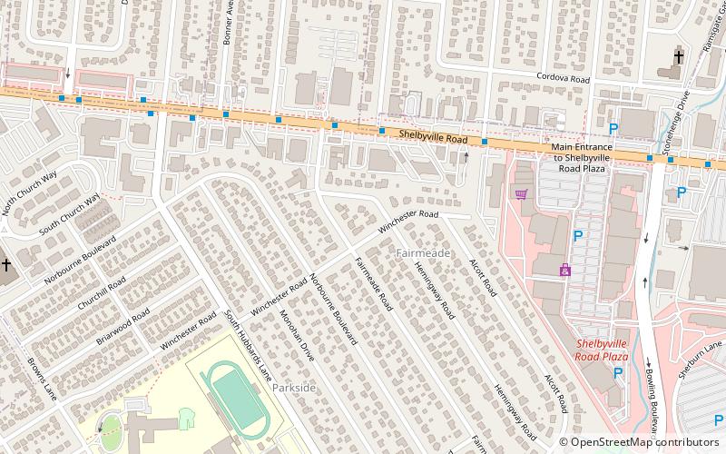
Public transportation stops near this location
- Bus
 Bus
Bus
- Calculate routeOxmoor Center / Sears 12 min walk
- Calculate routeChristian Way / Christian Ct. 15 min walk
- Calculate routeOxmoor / Bullitt 17 min walk
- Calculate routeShelbyville / Christian Way 19 min walk
Day trips


Frequently Asked Questions (FAQ)
How to get to Oxmoor Farm by public transport?
The nearest stations to Oxmoor Farm:
Bus
Bus
- Oxmoor Center / Sears • Lines: 29East Oxmoor, 29West Oxmoor (12 min walk)
- Christian Way / Christian Ct. • Lines: 29West Oxmoor (15 min walk)