South San Jose, San Jose

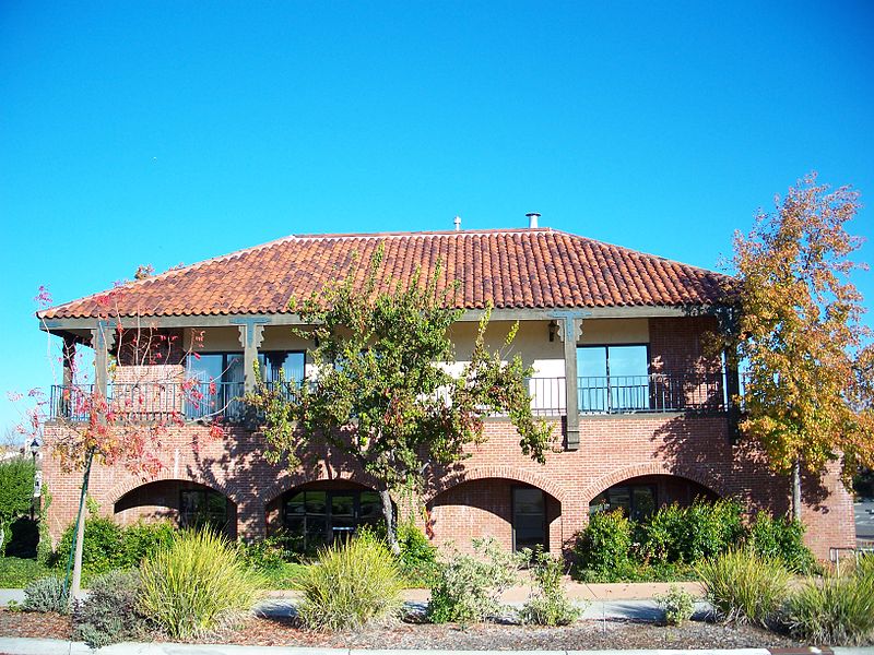
Gallery (3)
Map
Map
Gallery
Facts and practical information
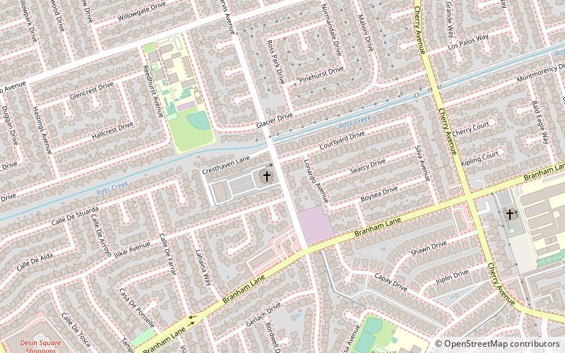
South San Jose is the southern region of San Jose, California. The name "South Side" refers to an area bounded roughly by Hillsdale Avenue and Capitol Expressway to the North, Camden Avenue to the West, Highway 101 and Hellyer Avenue on the east, the border with the city of Morgan Hill towards the south, and Los Gatos, to the west. ()
Coordinates: 37°14'19"N, 121°50'18"W
Address
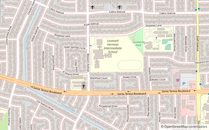
Edenvale (Blossom Valley)San Jose
ContactAdd
Social media
Add
Getting there by public transportation
Public transportation stops near this location
- Bus
- Light rail
 Bus
Bus
- Calculate routeSnell Avenue & Shawcroft Drive 11 min walk
- Calculate routeSnell Avenue & Calero Avenue 13 min walk
- Calculate routeSanta Teresa Boulevard & Snell Avenue 13 min walk
- Calculate routeSnell 20 min walk
- Calculate routeBlossom Hill 26 min walk
Day trips


Frequently Asked Questions (FAQ)
How to get to South San Jose by public transport?
The nearest stations to South San Jose:
Bus
Light rail
Bus
- Snell Avenue & Shawcroft Drive • Lines: 102, 66 (11 min walk)
- Snell Avenue & Calero Avenue • Lines: 66 (13 min walk)
Light rail
- Snell • Lines: Blue (20 min walk)
- Blossom Hill • Lines: Blue (26 min walk)