Improv Asylum, Boston
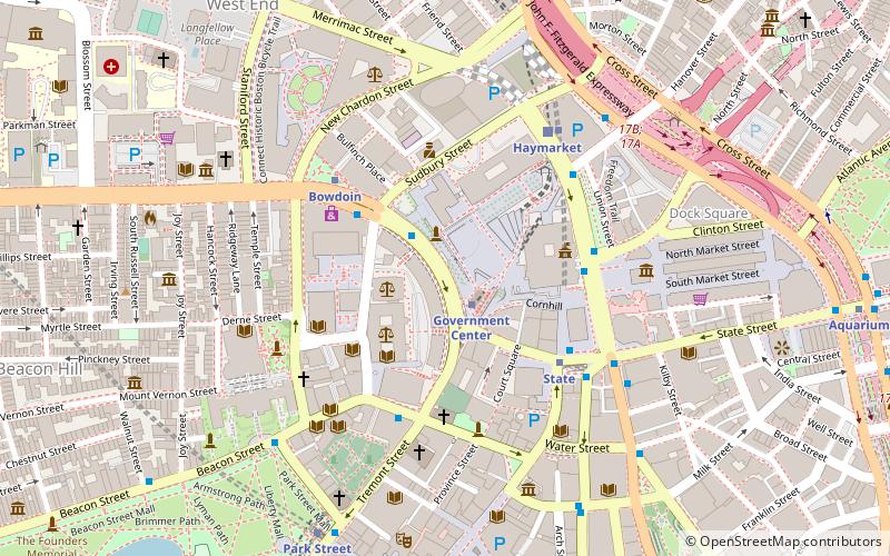
Map
Facts and practical information
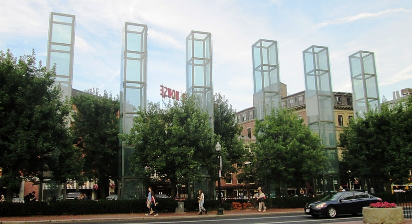
Improv Asylum is an improvisational comedy theater in the North End neighborhood of Boston, Massachusetts, United States. Founded in 1998 by Paul D'Amato, Norm Laviolette, and Chet Harding. The theater produces multiple shows per week including its critically acclaimed mainstage show. The mainstage show is a blend of both sketch comedy and improvised scenes. ()
Coordinates: 42°21'36"N, 71°3'36"W
Getting there by public transportation
Public transportation stops near this location
- Metro
- Bus
- Light rail
- Train
 Metro
Metro
- Calculate routeGovernment Center 1 min walk
- Calculate routeBowdoin 4 min walk
- Calculate routeHaymarket 5 min walk
- Calculate routeState 5 min walk
- Calculate routeGovernment Center 1 min walk
- Calculate routeHaymarket 5 min walk
- Calculate routePark Street 8 min walk
- Calculate routeNorth Station 10 min walk
- Calculate routeTremont St opp Temple Pl 9 min walk
- Calculate routeFederal St @ Franklin St 10 min walk
- Calculate routeOtis St @ Summer St 11 min walk
- Calculate routeBoston North Station 12 min walk
- Calculate routeBoston South Station 17 min walk
- Calculate routeBoston Back Bay 30 min walk
Maps MBTA Subway
MBTA SubwayDay trips


Frequently Asked Questions (FAQ)
Which popular attractions are close to Improv Asylum?
Nearby attractions include Government Center, Boston (1 min walk), Pemberton Square, Boston (2 min walk), City Hall Plaza, Boston (2 min walk), Suffolk County Courthouse, Boston (3 min walk).
How to get to Improv Asylum by public transport?
The nearest stations to Improv Asylum:
Metro
Light rail
Bus
Train
Metro
- Government Center • Lines: Blue (1 min walk)
- Bowdoin • Lines: Blue (4 min walk)
Light rail
- Government Center • Lines: C, D, E (1 min walk)
- Haymarket • Lines: C, E (5 min walk)
Bus
- Tremont St opp Temple Pl • Lines: 55 (9 min walk)
- Federal St @ Franklin St • Lines: 504 (10 min walk)
Train
- Boston North Station (12 min walk)
- Boston South Station (17 min walk)