Westwood Highlands, San Francisco
Map
Facts and practical information
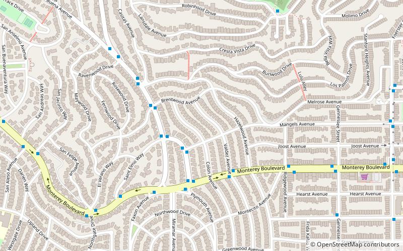
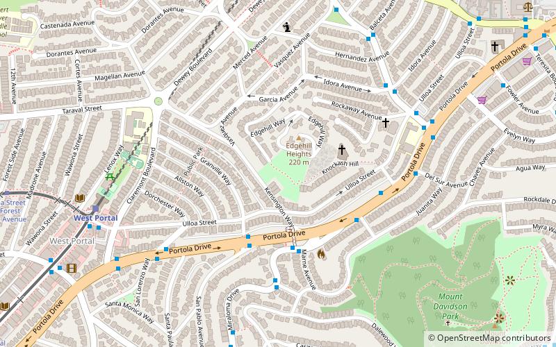
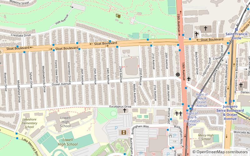
Westwood Highlands is a small affluent neighborhood located in south-central San Francisco, California, northeast of the intersection of Monterey Boulevard and Plymouth Avenue. It is bordered by Westwood Park to the south, Saint Francis Wood to the west, Sherwood Forest to the north, and Sunnyside to the east. Mt. Davidson, the highest point in San Francisco, lays just northeast. ()
Area: 113.92 acres (0.178 mi²)Coordinates: 37°43'59"N, 122°27'25"W
Address
Southwest San Francisco (Westwood Highlands)San Francisco
ContactAdd
Social media
Add
Getting there by public transportation
Public transportation stops near this location
- Metro
- Bus
- Trolleybus
- Light rail
 Metro
Metro
- Calculate routePlymouth Avenue & Mangels Avenue 2 min walk
- Calculate routeYerba Buena Avenue & Brentwood Avenue 4 min walk
- Calculate routeOcean Avenue & Dorado Terrace 16 min walk
- Calculate routeBalboa Park 24 min walk
- Calculate routeMission Street & Ruth Street 34 min walk
Maps Muni Metro
Muni MetroDay trips


Frequently Asked Questions (FAQ)
Which popular attractions are close to Westwood Highlands?
Nearby attractions include Mount Davidson, San Francisco (11 min walk), City College of San Francisco, San Francisco (16 min walk), St. Francis Wood, San Francisco (16 min walk), San Francisco Public Library - Ingleside Branch, San Francisco (16 min walk).
How to get to Westwood Highlands by public transport?
The nearest stations to Westwood Highlands:
Bus
Light rail
Metro
Trolleybus
Bus
- Plymouth Avenue & Mangels Avenue • Lines: 43 (2 min walk)
- Yerba Buena Avenue & Brentwood Avenue • Lines: 43 (4 min walk)
Light rail
- Ocean Avenue & Dorado Terrace • Lines: K (16 min walk)
Metro
- Balboa Park • Lines: Blue, Green, Red, Yellow (24 min walk)
Trolleybus
- Mission Street & Ruth Street • Lines: 14 (34 min walk)