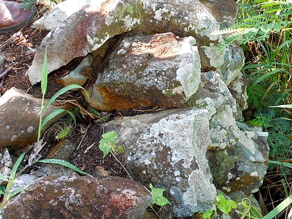
Lind Point Fort, Cruz Bay
#2 among attractions in Cruz Bay
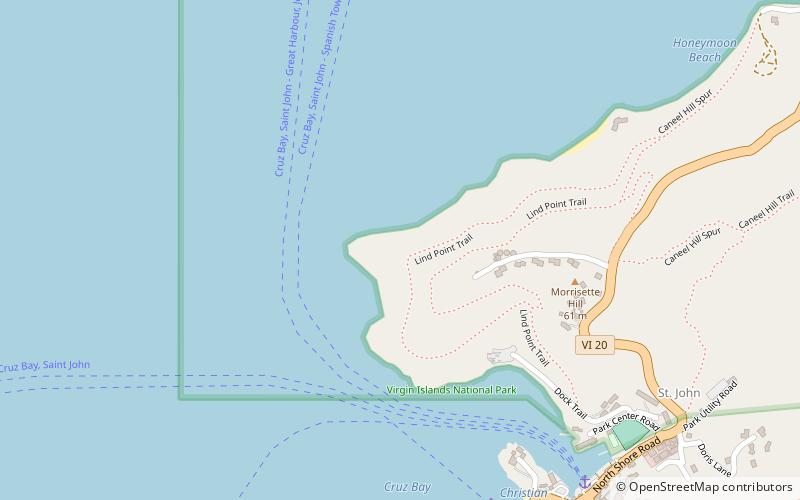

Facts and practical information
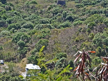
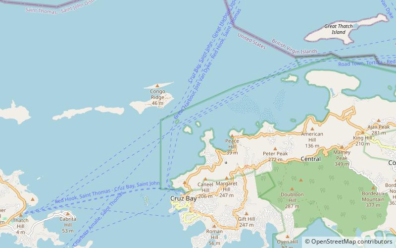
Lind Point Fort, located northwest of Cruz Bay on Saint John, U.S. Virgin Islands, is a historic site which was listed on the National Register of Historic Places in 1981. ()
Cruz Bay US Virgin Islands
Lind Point Fort – popular in the area (distance from the attraction)
Nearby attractions include: Dennis Bay Historic District, Mary Point Estate, Coral World, Cinnamon Bay Plantation.
 Park
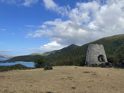
ParkDennis Bay Historic District, Saint John
47 min walk • Dennis Bay Historic District is a historic district which was listed on the National Register of Historic Places in 1981. It is located northeast of Cruz Bay off North Shore Rd. in Virgin Islands National Park. The plantation was claimed and cleared by 1728 to operate as a sugar cane plantation.
 Ruins
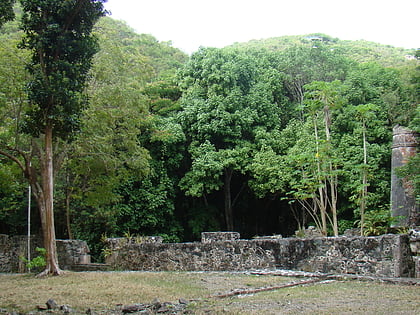
RuinsMary Point Estate, Saint John
107 min walk • Mary Point Estate is a historic property located on the north coast of Saint John, United States Virgin Islands on Mary's Point. The plantation was added to the U.S. National Register of Historic Places on May 22, 1978.
 Aquariums and ocean-centric attractions
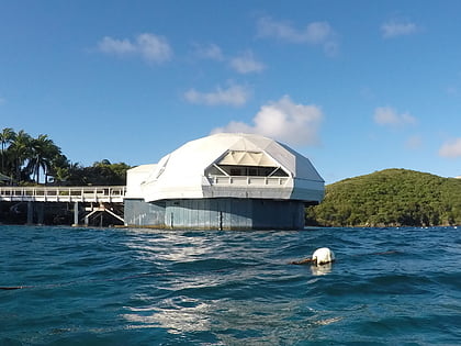
Coral World, Saint Thomas
113 min walk • Coral World is a marine park and tourist attraction located next to Coki Beach on the East End of St. Thomas, U.S. Virgin Islands.
 Neighbourhood
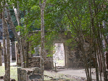
Cinnamon Bay Plantation, Saint John
78 min walk • Cinnamon Bay Plantation is an approximately 300-acre property situated on the north central coast of Saint John in the United States Virgin Islands adjacent to Cinnamon Bay. The land, part of Virgin Islands National Park, was added to the United States National Register of Historic Places on July 11, 1978.
 Area
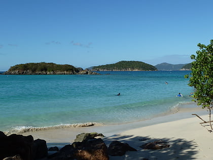
AreaWhistling Cay, Virgin Islands National Park
90 min walk • Whistling Cay is a 19-acre islet, situated 300 yards west of Mary Point on Saint John in the United States Virgin Islands. It is covered with trees and high cliffs in the north, where it reaches a 130-foot elevation.
 Area
AreaHenley Cay, Virgin Islands National Park
31 min walk • Henley Cay, previously known as Women's Cay, is an 11-acre tropical islet in the United States Virgin Islands. The cay is 300 yards in diameter and the largest and southernmost of the Durloe Cays in the Virgin Islands National Park.
 Ruins
RuinsEstate Carolina Sugar Plantation, Virgin Islands National Park
135 min walk • The Estate Carolina Sugar Plantation near Coral Bay on Saint John, U.S. Virgin Islands is a historic sugar plantation and later rum distillery.
 Area
AreaCinnamon Cay, Virgin Islands National Park
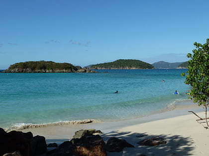
78 min walk • Cinnamon Cay is a cay in the United States Virgin Islands, situated approximately 0.7 miles east of Trunk Cay in...
 Area
AreaTrunk Cay, Virgin Islands National Park
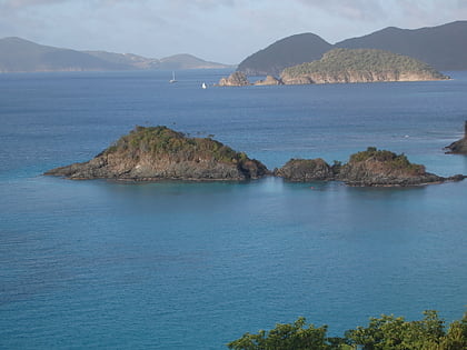
59 min walk • Trunk Cay is a small grass-covered islet in Trunk Bay in the United States Virgin Islands. It has an elevation of 48 feet and is situated only 200 feet from Trunk Bay Beach. It is an islet of rocky cliffs, coral sandy beaches, and palm trees.
 Area
AreaRamgoat Cay, Virgin Islands National Park
36 min walk • Ramgoat Cay is an islet in the United States Virgin Islands, located 310 yards northeast of Henley Cay and 1300 feet north of Hawksnest Point on the island of Saint John. It is 30 feet high and located within the Virgin Islands National Park.
 Interesting neighbourhood
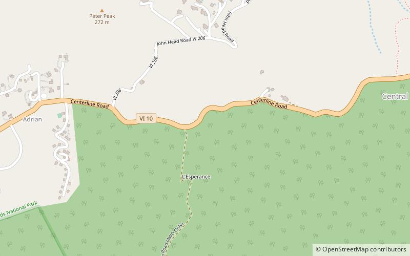
L'Esperance Historic District, Saint John
67 min walk • The L'Esperance Historic District, located east of Cruz Bay off Center Line Rd. on Saint Thomas in the U.S. Virgin Islands, is a historic district which was listed on the National Register of Historic Places in 1981. It is located within Virgin Islands National Park.
