Pascoe Vale Road, Melbourne

Gallery (1)
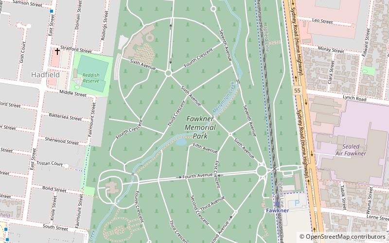
Map
Map
Facts and practical information
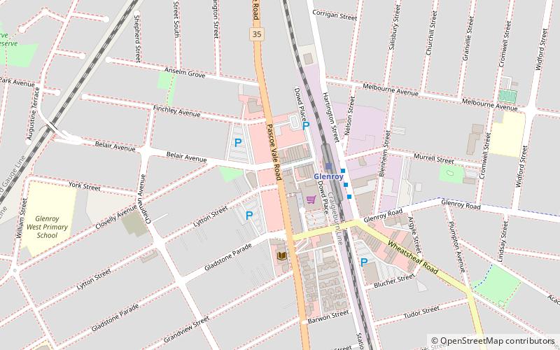
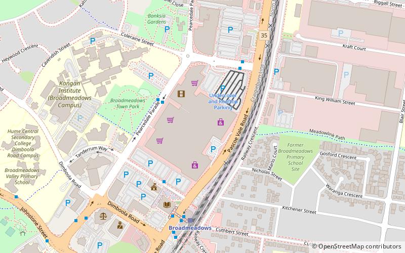
Pascoe Vale Road is a major thoroughfare through the northern suburbs of Melbourne, connecting the outer northern fringe to the inner northern suburbs. ()
Coordinates: 37°42'17"S, 144°54'57"E
Address
Moreland (Glenroy)Melbourne
ContactAdd
Social media
Add
Getting there by public transportation
Public transportation stops near this location
- Bus
- Train
 Bus
Bus
- Calculate routeGlenroy 2 min walk
- Calculate routeJacana 17 min walk
- Calculate routeOak Park 25 min walk
- Calculate routeWonga Place 18 min walk
- Calculate routeHolly Court 22 min walk
- Calculate routeLanark Way 22 min walk
- Calculate routeVanderloo Road 23 min walk
Maps Melbourne TramsMaps
 Victoria Trains
Melbourne TramsMapsVictoria TrainsDay trips


Frequently Asked Questions (FAQ)
How to get to Pascoe Vale Road by public transport?
The nearest stations to Pascoe Vale Road:
Train
Bus
Train
- Glenroy (2 min walk)
- Jacana (17 min walk)
Bus
- Wonga Place • Lines: 490 (18 min walk)
- Holly Court • Lines: 490 (22 min walk)