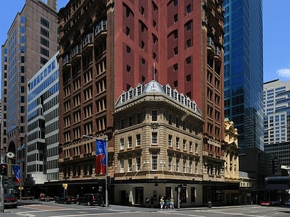
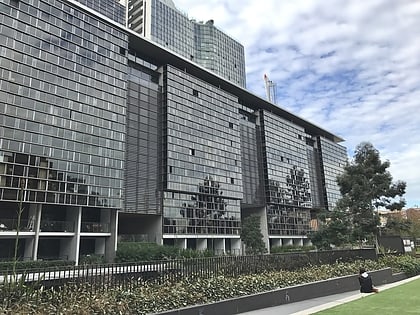
Strawberry Hills, Sydney
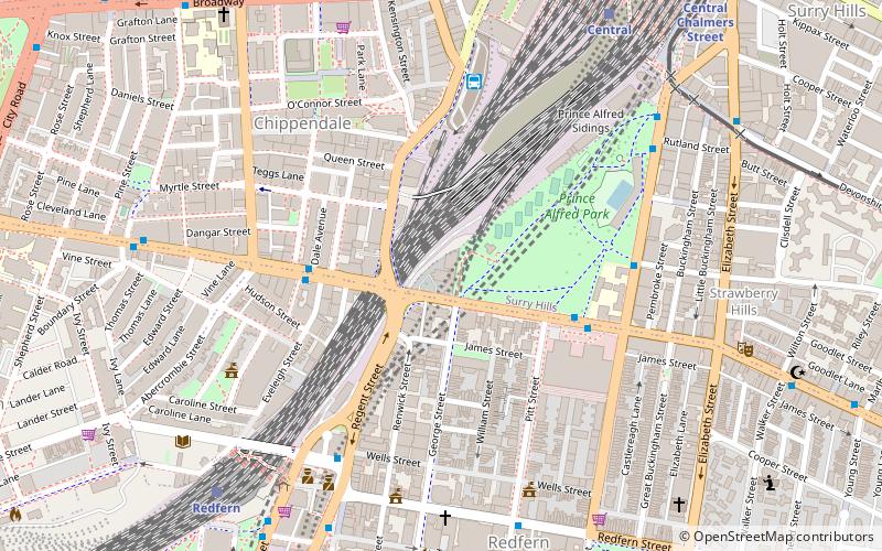
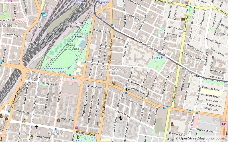
Map
Gallery
Facts and practical information
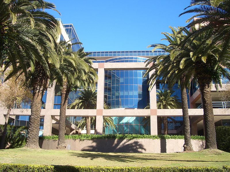
Strawberry Hills is an official Urban Place in Sydney, in the state of New South Wales, Australia. Strawberry Hills is located east of Central railway station, within the suburbs of Surry Hills and Redfern which are part of the local government area of the City of Sydney. The origin of the name is unknown. ()
Coordinates: 33°53'21"S, 151°12'30"E
Address
South Sydney (Surry Hills)Sydney
ContactAdd
Social media
Add
Day trips
Strawberry Hills – popular in the area (distance from the attraction)
Nearby attractions include: Castlereagh Street, Central Park, Redfern Park, Cathedral of the Annunciation of Our Lady.
Frequently Asked Questions (FAQ)
Which popular attractions are close to Strawberry Hills?
Nearby attractions include Belvoir St Theatre, Sydney (1 min walk), Gaelic Theatre, Sydney (7 min walk), Redfern Town Hall, Sydney (9 min walk), St Andrew's Greek Orthodox Theological College, Sydney (9 min walk).
How to get to Strawberry Hills by public transport?
The nearest stations to Strawberry Hills:
Light rail
Bus
Train
Light rail
- Surry Hills • Lines: L2, L3 (6 min walk)
- Central Chalmers Street • Lines: L2, L3 (9 min walk)
Bus
- Surry Hills, Cleveland Street nr Crown Street • Lines: 301 (8 min walk)
- Stand N, Central Station, Railway Square • Lines: 607X (12 min walk)
Train
- Central (10 min walk)
- Redfern (16 min walk)

 Sydney Trains
 Sydney Light Rail
 Sydney Ferries