Southern Cross Drive, Sydney
Map

Map

Facts and practical information
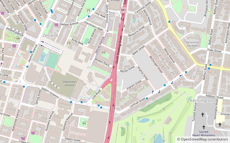
The Southern Cross Drive is a 4.8 km dual carriage untolled motorway in Sydney, New South Wales, Australia. Part of the M1 and Sydney Orbital Network, the road, a freeway that opened in 1969, links the Eastern Distributor and South Dowling Street at Kensington in the north to General Holmes Drive at Sydney Airport in the south. ()
Coordinates: 33°54'36"S, 151°12'47"E
Address
Eastern Suburbs (Kensington)Sydney
ContactAdd
Social media
Add
Day trips
Southern Cross Drive – popular in the area (distance from the attraction)
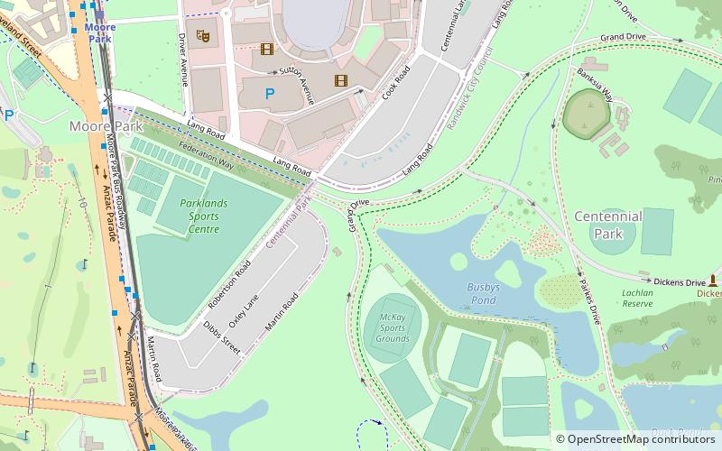
Nearby attractions include: Carriageworks, Redfern Park, Fox Studios Australia, Centennial Parklands.
Frequently Asked Questions (FAQ)
Which popular attractions are close to Southern Cross Drive?
Nearby attractions include Kensington, Sydney (14 min walk), Waterloo Town Hall, Sydney (22 min walk).
How to get to Southern Cross Drive by public transport?
The nearest stations to Southern Cross Drive:
Light rail
Bus
Train
Light rail
- Kensington • Lines: L3 (16 min walk)
- ES Marks • Lines: L3 (18 min walk)
Bus
- Eastern Avenue Nr Day Avenue, Kensington • Lines: 302, 303 (17 min walk)
- Day Avenue Nr Mooramie Avenue, Kensington • Lines: 302, 303 (20 min walk)
Train
- Green Square (17 min walk)

 Sydney Trains
 Sydney Light Rail
 Sydney Ferries


