New Danube, Vienna
Map
Gallery
Facts and practical information
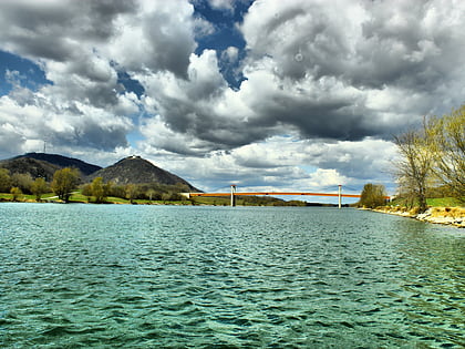
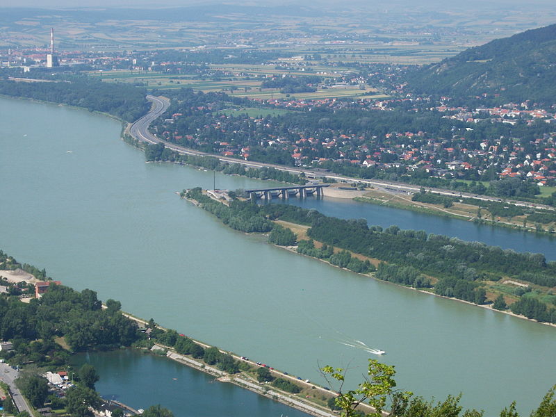
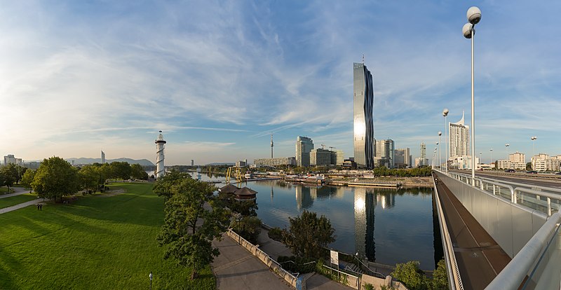
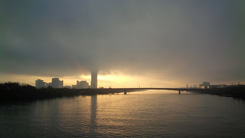
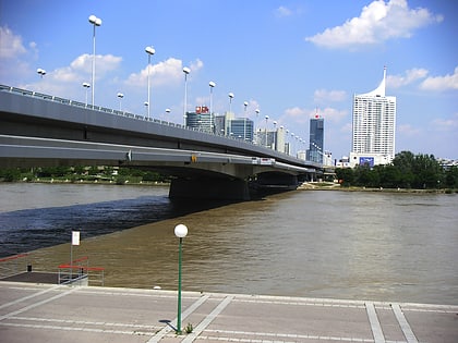
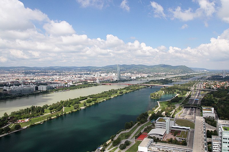
The New Danube is a side channel built in 1972–88 on the eastern side of the Danube in Vienna, Austria. It was created to provide flood relief by containing excess water. The Donauinsel, made out of the removed material, separates the new waterway from the main channel of the river. The project was referred to by the United Nations Human Settlements Programme as "the first truly multipurpose fully sustainable flood protection scheme." ()
Address
Donaustadt (Kaisermühlen)Vienna
ContactAdd
Social media
Add
Day trips
New Danube – popular in the area (distance from the attraction)
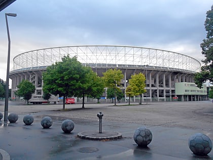
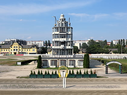
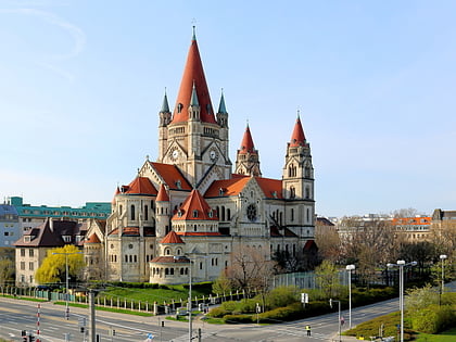
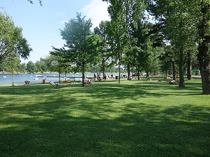
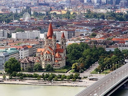
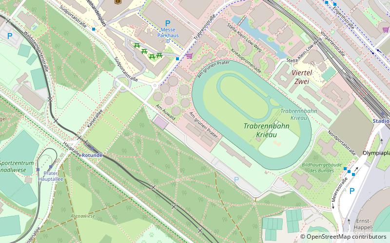
Nearby attractions include: Ernst-Happel-Stadion, Trabrennbahn Krieau, St. Francis of Assisi Church, Strandbad Gänsehäufel.
Frequently Asked Questions (FAQ)
How to get to New Danube by public transport?
The nearest stations to New Danube:
Bus
Metro
Train
Tram
Bus
- Neue Donau Mitte • Lines: 92A, 92B, N90 (4 min walk)
- Harrachgasse • Lines: 92A, 92B, N90 (5 min walk)
Metro
- Donaustadtbrücke • Lines: U2 (22 min walk)
- Krieau • Lines: U2 (23 min walk)
Train
- Wien Stadlau (23 min walk)
- Wien Erzherzog-Karl-Straße (32 min walk)
Tram
- Donaustadtstraße • Lines: 25 (27 min walk)
- Arminenstraße • Lines: 25 (27 min walk)
