Governor's Bridge, Toronto
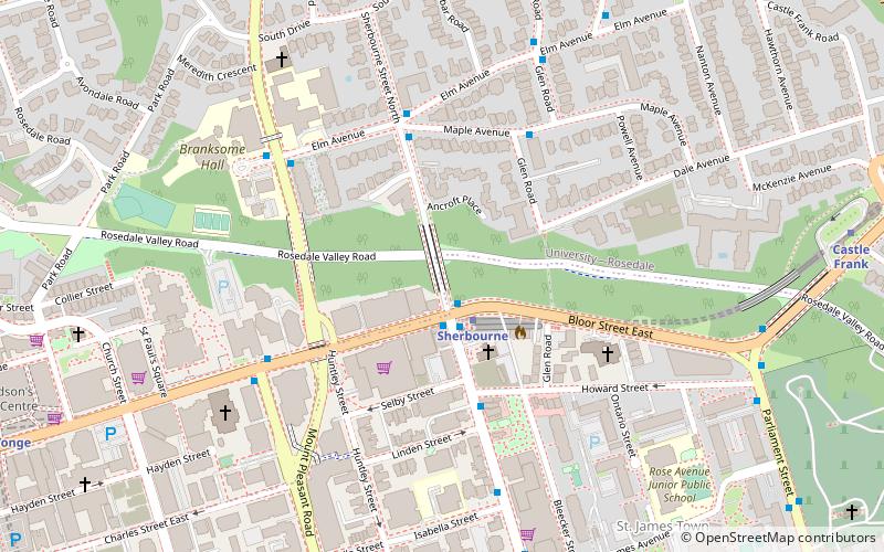
Map

Gallery
Facts and practical information
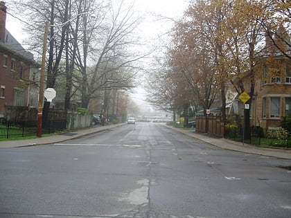
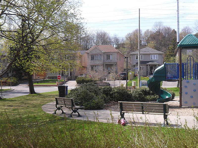
Governor's Bridge is a bridge and small neighbourhood in Toronto, Ontario, Canada, located to the east of Rosedale and Moore Park neighbourhoods. Unlike them, it was part of the former city of East York. The neighbourhood is named for the Governor's Bridge that crosses the Moore Park Ravine from Douglas Crescent to Astley Avenue and connects the area to Rosedale. The bridge was built in 1923 and restored in 2000. ()
Coordinates: 43°41'24"N, 79°22'8"W
Address
East York (Governor's Bridge)Toronto
ContactAdd
Social media
Add
Day trips
Governor's Bridge – popular in the area (distance from the attraction)
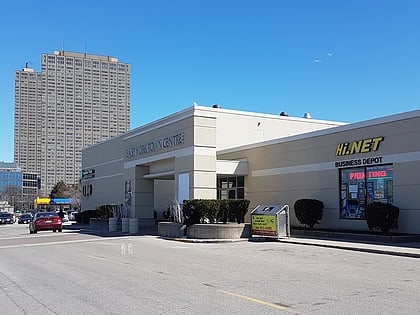
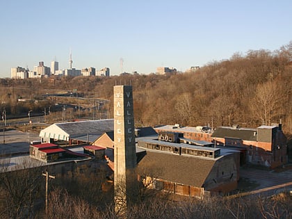
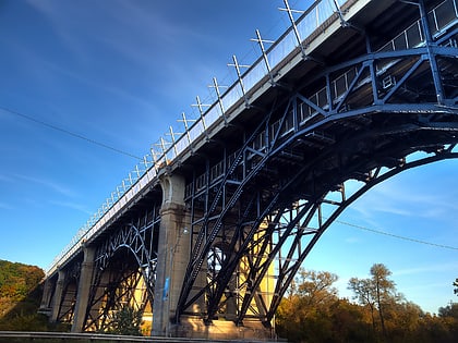
Nearby attractions include: East York Town Centre, Evergreen Brick Works, David A. Balfour Park, Prince Edward Viaduct.
Frequently Asked Questions (FAQ)
Which popular attractions are close to Governor's Bridge?
Nearby attractions include Integral House, Toronto (10 min walk), Evergreen Brick Works, Toronto (11 min walk), University of Toronto President's Estate, Toronto (18 min walk), Leaside, Toronto (18 min walk).
How to get to Governor's Bridge by public transport?
The nearest stations to Governor's Bridge:
Bus
Tram
Metro
Bus
- Evergreen Brick Works • Lines: Evergreen Shuttle (13 min walk)
- Pottery Road • Lines: 62 (19 min walk)
Tram
- Broadview Station • Lines: 504B, 505 (27 min walk)
- Danforth Avenue • Lines: 504B, 505 (28 min walk)
Metro
- Broadview • Lines: 2 (27 min walk)
- Castle Frank • Lines: 2 (29 min walk)

 Subway
 Streetcar system
 PATH
PATH