Discovery Island Light, Discovery Island
Map
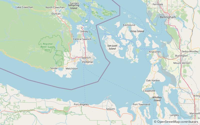
Map

Facts and practical information
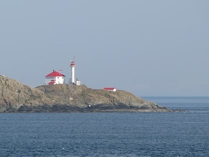
Discovery Island Lighthouse is an active lighthouse built in 1886 on Pandora Hill which is the highest point on Discovery Island in the province of British Columbia, Canada. ()
Coordinates: 48°25'29"N, 123°13'34"W
Address
Discovery Island
ContactAdd
Social media
Add
Day trips
Discovery Island Light – popular in the area (distance from the attraction)
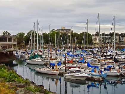
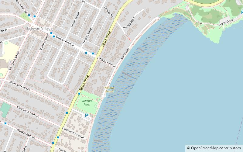
Nearby attractions include: Oak Bay Marina, Cattle Point, Willows Beach, Finnerty Gardens.

