Virginia Park, Edmonton
Map
Facts and practical information
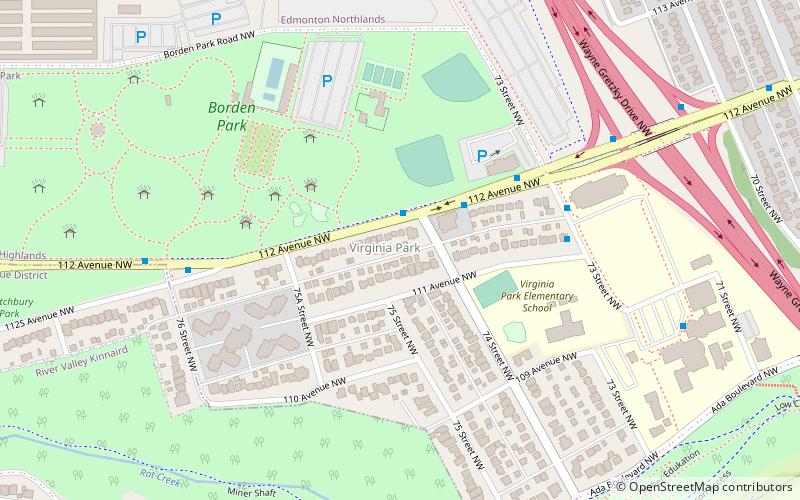
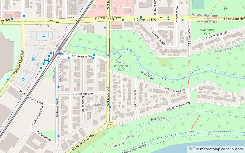
Virginia Park is a neighbourhood in north east Edmonton, Alberta, Canada. It is located between the North Saskatchewan River valley to the south and Northlands Park to the north. Its eastern boundary overlooks Wayne Gretzky Drive. Its western boundary is a jagged line running south along the western edge of Borden Park, then east along 112 Avenue, then south along 76 Street to the river valley. ()
Area: 126.02 acres (0.1969 mi²)Coordinates: 53°33'41"N, 113°27'7"W
Address
North Central Edmonton (Virginia Park)Edmonton
ContactAdd
Social media
Add
Getting there by public transportation
Public transportation stops near this location
- Bus
- Light rail
 Bus
Bus
- Calculate route82 Street & 112 Avenue NW 17 min walk
- Calculate route82 Street & Jasper Ave 18 min walk
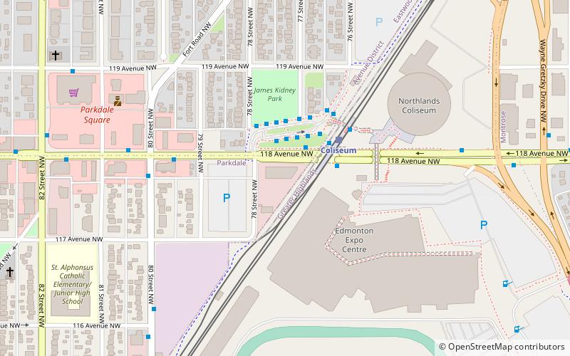
- Calculate routeColiseum Transit Centre 19 min walk
- Calculate routeColiseum 18 min walk
- Calculate routeStadium 20 min walk
Day trips


Frequently Asked Questions (FAQ)
Which popular attractions are close to Virginia Park?
Nearby attractions include Edmonton Expo Centre, Edmonton (14 min walk), Cromdale, Edmonton (14 min walk), Edmonton-Gold Bar, Edmonton (16 min walk), Capilano Bridge, Edmonton (17 min walk).
How to get to Virginia Park by public transport?
The nearest stations to Virginia Park:
Bus
Light rail
Bus
- 82 Street & 112 Avenue NW • Lines: 2 (17 min walk)
- 82 Street & Jasper Ave • Lines: 2, 2-Owl (18 min walk)
Light rail
- Coliseum • Lines: 501 (18 min walk)
- Stadium • Lines: 501 (20 min walk)