St. Augustine's Church, Copenhagen
Map

Map

Facts and practical information
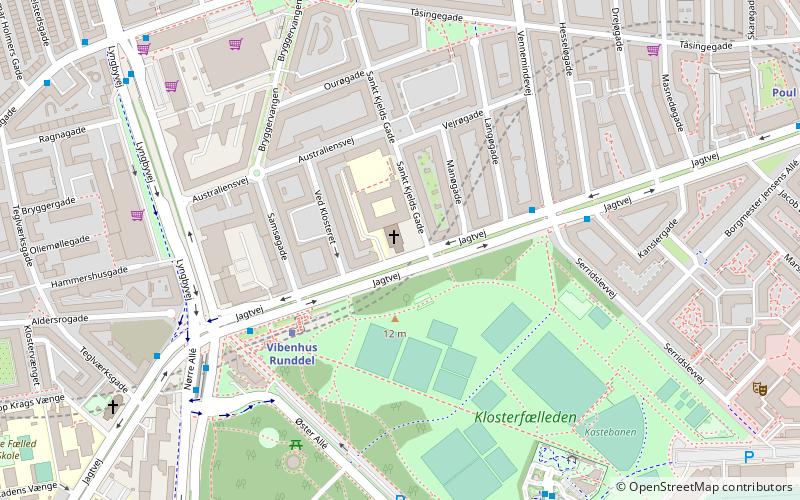
St. Augustine's Church is a Roman-Catholic church on Jagtvej in the Østerbro district of Copenhagen, Denmark. A former convent, which was built in association with the church, now houses Niels Steensens Gymnasium, a Catholic upper secondary school, and a hall of residence. ()
Day trips
St. Augustine's Church – popular in the area (distance from the attraction)
Nearby attractions include: Parken Stadium, Østerbrogade, Zoologisk Museum, Fælledparken.
Frequently Asked Questions (FAQ)
Which popular attractions are close to St. Augustine's Church?
Nearby attractions include Østerbro, Copenhagen (3 min walk), Vibenshus Runddel, Copenhagen (5 min walk), Krudttønden, Copenhagen (9 min walk), Østerfælled Barracks, Copenhagen (9 min walk).
How to get to St. Augustine's Church by public transport?
The nearest stations to St. Augustine's Church:
Metro
Bus
Light rail
Train
Metro
- Vibenhus Runddel • Lines: M3 (3 min walk)
- Poul Henningsens Plads • Lines: M3 (10 min walk)
Bus
- Serridslevvej • Lines: 14 (4 min walk)
- Vibenshus Runddel St. • Lines: 14 (5 min walk)
Light rail
- Ryparken • Lines: B, Bx, F (17 min walk)
- Svanemøllen • Lines: A, B, Bx, C, E (19 min walk)
Train
- Østerport (34 min walk)

 Metro
Metro


