Victor Borges Plads, Copenhagen

Gallery (1)
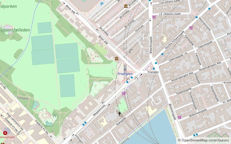
Map
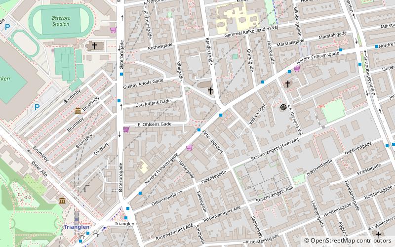
Map
Facts and practical information
Victor Borges Plads is a public square in the Østerbro district of Copenhagen, Denmark. ()
Coordinates: 55°42'6"N, 12°34'51"E
Getting there by public transportation
Public transportation stops near this location
- Metro
- Bus
- Light rail
- Train
- Ferry
 Metro
Metro
- Calculate routeRandersgade 1 min walk
- Calculate routeGustav Adolfs Gade 4 min walk
- Calculate routeHobrogade 4 min walk
- Calculate routeTrianglen St. 6 min walk
- Calculate routeTrianglen 7 min walk
- Calculate routePoul Henningsens Plads 15 min walk
- Calculate routeNordhavn 15 min walk
- Calculate routeØsterport 17 min walk
- Calculate routeNordhavn 12 min walk
- Calculate routeØsterport 17 min walk
- Calculate routeSvanemøllen 25 min walk
- Calculate routeRyparken 33 min walk
- Calculate routeØsterport 17 min walk
- Calculate routeNordre Toldbod 31 min walk
- Calculate routeRefshaleøen 33 min walk
Maps Metro
Metro
MetroDay trips
Victor Borges Plads – popular in the area (distance from the attraction)
Nearby attractions include: Parken Stadium, Østerbrogade, Nazareth Church, Reunification Monument.


Frequently Asked Questions (FAQ)
Which popular attractions are close to Victor Borges Plads?
Nearby attractions include Nordre Frihavnsgade, Copenhagen (3 min walk), Indre Østerbro, Copenhagen (4 min walk), Sankt Jakobs Plads, Copenhagen (5 min walk), Trianglen, Copenhagen (6 min walk).
How to get to Victor Borges Plads by public transport?
The nearest stations to Victor Borges Plads:
Bus
Metro
Light rail
Train
Ferry
Bus
- Randersgade • Lines: 14 (1 min walk)
- Gustav Adolfs Gade • Lines: 1A (4 min walk)
Metro
- Trianglen • Lines: M3 (7 min walk)
- Poul Henningsens Plads • Lines: M3 (15 min walk)
Light rail
- Nordhavn • Lines: A, B, Bx, C, E (12 min walk)
- Østerport • Lines: A, B, Bx, C, E, H (17 min walk)
Train
- Østerport (17 min walk)
Ferry
- Nordre Toldbod • Lines: 991, 992 (31 min walk)
- Refshaleøen • Lines: 991, 992 (33 min walk)