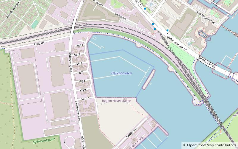
Fiskerhavnen, Copenhagen

Gallery (1)
Map
Map
Facts and practical information
Fiskerhavnen is a place located in Copenhagen (Hovedstaden region) and belongs to the category of sailing, marina.
It is situated at an altitude of 0 feet, and its geographical coordinates are 55°38'29"N latitude and 12°32'36"E longitude.
Planning a visit to this place, one can easily and conveniently get there by public transportation. Fiskerhavnen is a short distance from the following public transport stations: Sluseholmen (bus, 5 min walk), Sluseholmen (train, 9 min walk), Teglholmen (ferry, 15 min walk), Sjælør (light rail, 25 min walk).
Among other places and attractions worth visiting in the area are: Sluseholmen (harbor, 9 min walk), Sluseholmen Canal District (canal, 11 min walk), Teglværksbroen (bridge, 14 min walk).
Coordinates: 55°38'29"N, 12°32'36"E
Address
Copenhagen
ContactAdd
Social media
Add
Getting there by public transportation
Public transportation stops near this location
- Bus
- Light rail
- Train
- Ferry
 Bus
Bus
- Calculate routeSluseholmen 5 min walk
- Calculate routeBådehavnsgade 9 min walk
- Calculate routeVed Slusen 11 min walk
- Calculate routeAlliancevej 18 min walk
- Calculate routeSluseholmen 9 min walk
- Calculate routeMozarts Plads 16 min walk
- Calculate routeEnghave Brygge 27 min walk
- Calculate routeNy Ellebjerg 36 min walk
- Calculate routeTeglholmen 15 min walk
- Calculate routeSjælør 25 min walk
- Calculate routeSydhavn 25 min walk
- Calculate routeNy Ellebjerg 35 min walk
Maps Metro
Metro
MetroDay trips


Frequently Asked Questions (FAQ)
Which popular attractions are close to Fiskerhavnen?
Nearby attractions include Sluseholmen, Copenhagen (9 min walk), Sluseholmen Canal District, Copenhagen (11 min walk), Teglværksbroen, Copenhagen (14 min walk).
How to get to Fiskerhavnen by public transport?
The nearest stations to Fiskerhavnen:
Bus
Train
Ferry
Light rail
Bus
- Sluseholmen • Lines: 18 (5 min walk)
- Bådehavnsgade • Lines: 18 (9 min walk)
Train
- Sluseholmen (9 min walk)
- Mozarts Plads (16 min walk)
Ferry
- Teglholmen • Lines: 991, 992 (15 min walk)
Light rail
- Sjælør • Lines: A, E (25 min walk)
- Sydhavn • Lines: A, E (25 min walk)