Nordvest, Copenhagen
Map
Facts and practical information
Nordvest or The North West Block is an area in Denmark's Copenhagen municipality. It is located in the southwestern part of the Bispebjerg district. Although there are no clear borders nor any official demarcation, it is broadly recognized as the area covered mostly by the Danish postal code 2400 København NV, although some areas lie outside this postal code. As of 2005, 44,177 people resided in the area. ()
Address
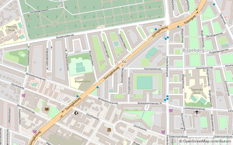
Bispebjergs (Tingskrivervejs)Copenhagen
ContactAdd
Social media
Add
Getting there by public transportation
Public transportation stops near this location
- Metro
- Bus
- Light rail
 Metro
Metro
- Calculate routeBirkedommervej 3 min walk
- Calculate routeLandsdommervej 5 min walk
- Calculate routeTuborgvej 5 min walk
- Calculate routeBispebjerg 15 min walk
- Calculate routeEmdrup 23 min walk
- Calculate routeNørrebro 20 min walk
- Calculate routeSkjolds Plads 24 min walk
Maps Metro
Metro
MetroDay trips


Frequently Asked Questions (FAQ)
Which popular attractions are close to Nordvest?
Nearby attractions include Bispebjerg, Copenhagen (6 min walk), Bispebjerg Kirkegård, Copenhagen (9 min walk), Rentemestervej, Copenhagen (10 min walk), Grundtvigs Kirke, Copenhagen (13 min walk).
How to get to Nordvest by public transport?
The nearest stations to Nordvest:
Bus
Light rail
Metro
Bus
- Birkedommervej • Lines: 21 (3 min walk)
- Landsdommervej • Lines: 4A (5 min walk)
Light rail
- Bispebjerg • Lines: F (15 min walk)
- Emdrup • Lines: B, Bx (23 min walk)
Metro
- Nørrebro • Lines: M3 (20 min walk)
- Skjolds Plads • Lines: M3 (24 min walk)