Mjølnerparken, Copenhagen
Map

Map

Facts and practical information
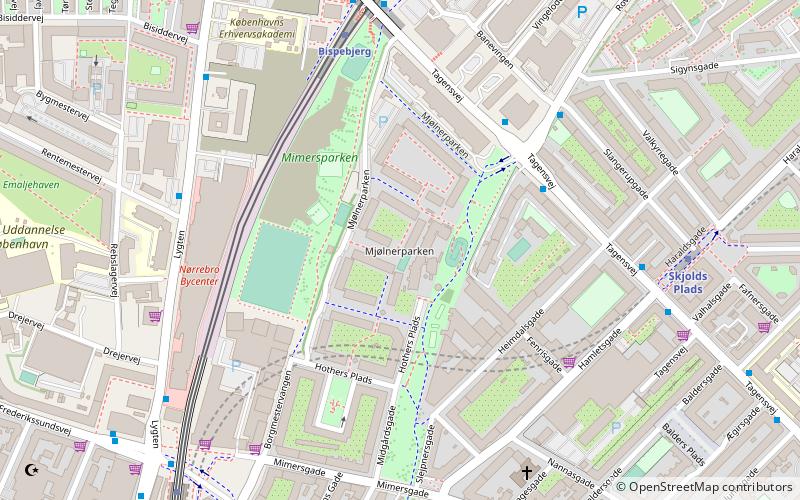
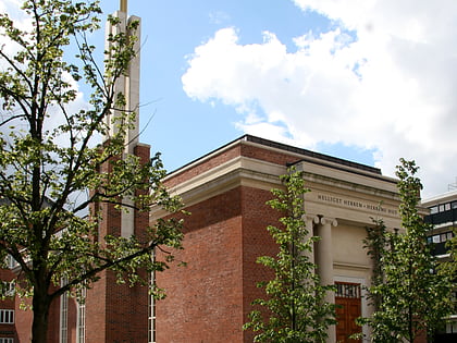
Mjølnerparken is a housing project located between Nørrebro and Bispebjerg S-train station in Nørrebro, Copenhagen. Approximately 2,500 people live in the area; 98% are either immigrant or born to immigrants, who represent 38 different nationalities, mostly Middle-Eastern and African. The majority of the inhabitants are under 18 years old, and the area is known because of press reports on its crime rates. ()
Coordinates: 55°42'13"N, 12°32'33"E
Address
Nørrebro (Heimdals)Copenhagen
ContactAdd
Social media
Add
Day trips
Mjølnerparken – popular in the area (distance from the attraction)
Nearby attractions include: Stefanskirken, Zoologisk Museum, Superkilen, Lersøparken.
Frequently Asked Questions (FAQ)
Which popular attractions are close to Mjølnerparken?
Nearby attractions include Al-Faruq mosque, Copenhagen (3 min walk), Heimdalsgade, Copenhagen (4 min walk), Superkilen, Copenhagen (4 min walk), Tagensvej, Copenhagen (6 min walk).
How to get to Mjølnerparken by public transport?
The nearest stations to Mjølnerparken:
Bus
Light rail
Metro
Bus
- Rovsingsgade • Lines: 12, 6A (4 min walk)
- Slangerupgade • Lines: 12 (5 min walk)
Light rail
- Bispebjerg • Lines: F (5 min walk)
- Ryparken • Lines: B, Bx, F (27 min walk)
Metro
- Skjolds Plads • Lines: M3 (7 min walk)
- Nørrebros Runddel • Lines: M3 (19 min walk)

 Metro
Metro


