Sundbyvester, Copenhagen

Map
Facts and practical information
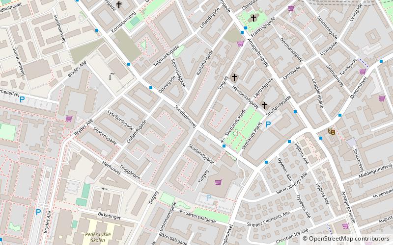
Sundbyvester is one of the 15 administrative, statistical, and tax city districts comprising the municipality of Copenhagen, Denmark. It lies on the south border of the municipality on the island of Amager. It covers an area of 5.21 km², has a population of 38,017 and a population density of 7,302 per km². ()
Address
Amager Vest (Tingvejs)Copenhagen
ContactAdd
Social media
Add
Day trips
Sundbyvester – popular in the area (distance from the attraction)
Nearby attractions include: Amager Centret, DR Koncerthuset, Lille Mølle, Our Saviour's Cemetery.
Frequently Asked Questions (FAQ)
Which popular attractions are close to Sundbyvester?
Nearby attractions include Sundby Church, Copenhagen (6 min walk), Sankt Annæ Kirke, Copenhagen (9 min walk), Sundbyøster, Copenhagen (10 min walk), Frankrigsgade, Copenhagen (12 min walk).
How to get to Sundbyvester by public transport?
The nearest stations to Sundbyvester:
Bus
Metro
Ferry
Bus
- Skotlands Plads • Lines: 77 (3 min walk)
- Brydes Allé • Lines: 77 (4 min walk)
Metro
- Amagerbro • Lines: M2 (9 min walk)
- DR Byen • Lines: M1 (15 min walk)
Ferry
- Knippelsbro • Lines: 991, 992 (33 min walk)
- Det Kongelige Bibliotek • Lines: 991, 992 (33 min walk)
 Metro
Metro


